Compare 16th century maps and satellite maps today
Remember that we are in the GPS era, and the first maps were crafted with brushes and parchment, so their quality was very limited and was limited.
In the map, technology is constantly changing to meet the needs of new generations of mapmakers and users.
The invention of magnetic devices, such as the compass and for a long time, magnetic storage devices allowed the creation of more accurate maps as well as the ability to store and control they are digital.
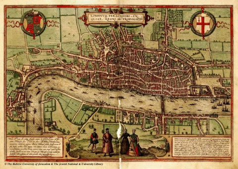
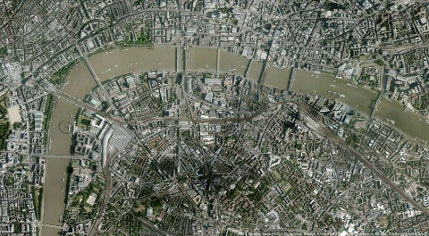
England: London 1572 vs London 2011
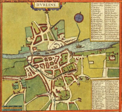
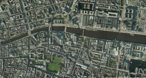
Ireland: Dublin 1617 vs Dublin 2011
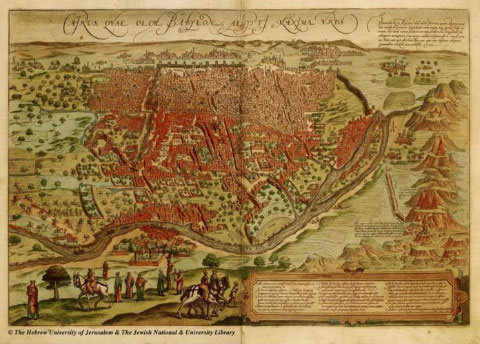
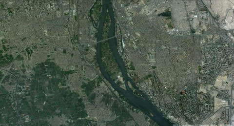
Egypt: Cairo 1572 vs Cairo 2011
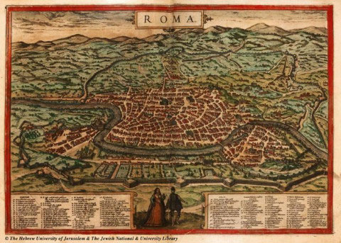
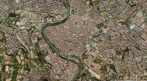
Italy: Rome 1572 vs Rome 2011
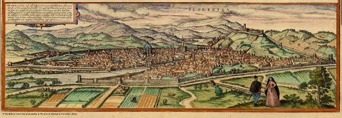

Italy: Florence 1572 vs Florence 2011
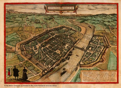
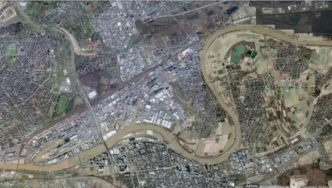
Germany: Frankfurt 1572 vs Frankfurt 2011
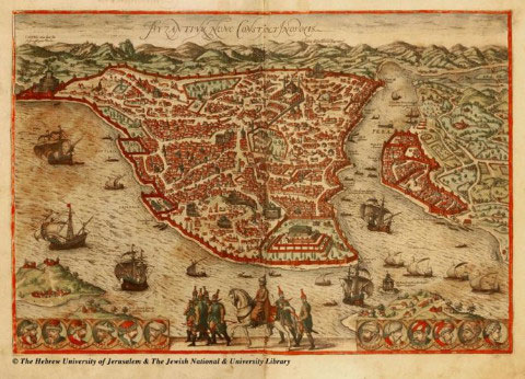
Turkey: Istanbul 1572 vs Istanbul 2011
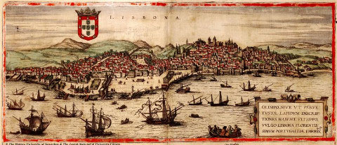
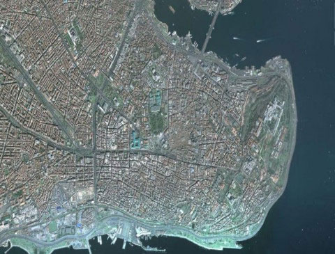
Portugal: Lisbon 1572 vs Lisbon 2011
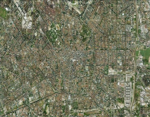
Italy: Milan 1572 vs Milan 2011
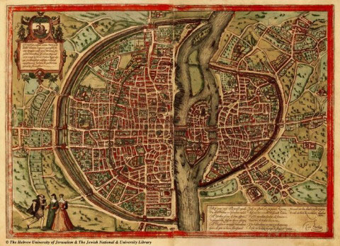
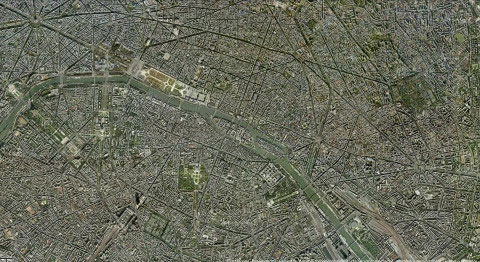
France: Paris 1572 vs Paris 2011
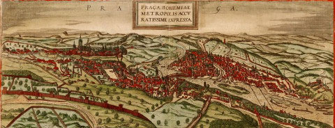
Czech Republic: Prague 1572 vs Prague 2011
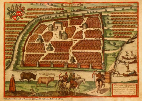
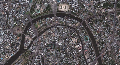
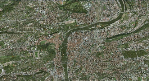
Russia: Moscow 1572 vs Moscow 2011
- Mexico discovered 16th-century Mayan tombs
- The world's first crop map from satellite imagery
- Mysterious ancient maps
- The aromatic oil of the aristocratic family of the 16th century French
- Decode the ancient Martellus Atlas map of Columbus
- How to see the Moon, Mars with Google Maps
- The skeleton of the 16th century was stuffed with vampire bricks?
- Google Maps complements the Moon map and many other planets
- The truth of the death of the 16th century astronomy
- Satellite images detected 1,000 dangerous points on the central highway
- The oldest map in the world sells for 8.5 billion
- How does Google Maps work?
 The 11 most unique public toilets in the world
 Explore the ghost town in Namibia
 Rare historical moments are 'colored', giving us a clearer view of the past
 The world famous ghost ship