Recently, on Earth Day, NASA has published amazing images of our planet in the past four decades.
As one of the earliest photographs of Earth, NASA's works show the change as well as the consequences of global warming. These marvels include images of the Arctic ice cap taken from the International Space Station or Antarctic ice formation taken from Terra satellite. Besides, there are many impressive photos of the Tibetan plateau, showing clear images of China's Mount Everest and the Great Wall of China.
Here are some "great work" of NASA:
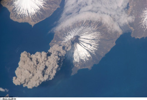
Journeyman Jeff Williams captured the Cleveland volcano moment in Alaska from the ISS International Space Station in 2006.
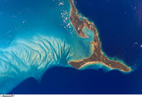
The picturesque beauty of the Bahamas archipelago looks from the universe in 2002.
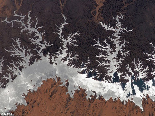
The photo of Lake Nasser, Egypt, in 2005 made many people think of the beauty of colorful coral reefs.
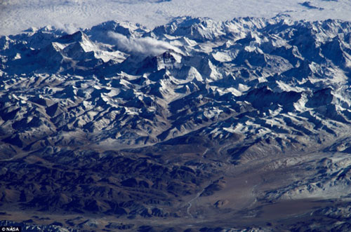
Mount Everest on a rare cloudy day. The height of Mount Everest is equal to the range of a commercial aircraft. So to see the whole view of this mountain, people need to go to space.
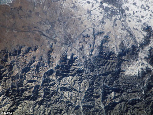
The whole Tibetan plateau and part of the Great Wall of China.
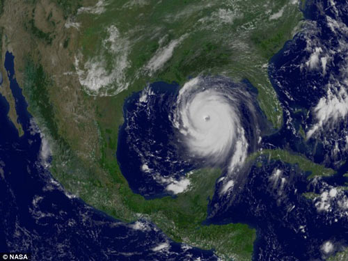
Images of Hurricane Katrina in 2005 under the "eyes" of GOES-12 weather satellites.
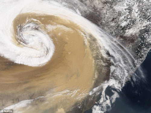
A storm in Asia is overtaking the Pacific in 2001.
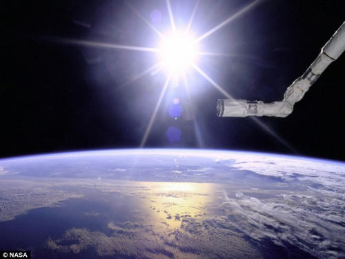
The photo shows the shuttle robot arm Endeavor under the bright sunshine of the sun, 1996.
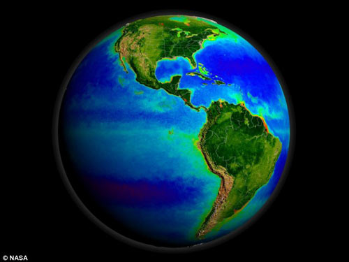
Seastar satellite photos show different colors of the world, from the fertile areas to the driest areas.
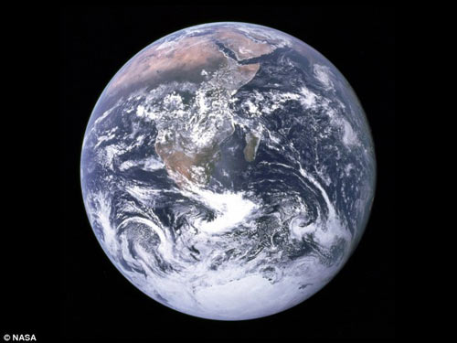
The first photo of Antarctica was taken from the Apollo 17, 1972.

The work of the Antarctic ice formation of Terra.