Chinese navigation system works
Xinhua announced that a self-developed Chinese navigation satellite system has provided limited positioning services, including navigation and positioning, on December 27, while the country sought to break down. abandon dependence on foreign technology.

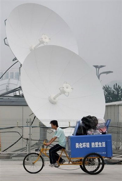
Satellite dish in Beijing - (Photo: AFP)
China promoted the development of its own positioning network in 2000 to stop relying on the US-controlled Global Positioning System (GPS).
Earlier reports said China would provide services worldwide by 2020.
The North Dau positioning system currently provides services to China and 'surrounding areas' , according to Xinhua.
Beijing will launch six more satellites in 2012 to expand its reach to most of the Asia-Pacific region.
The first North Dau satellite was launched in April 2007 after four experimental satellites were put into orbit earlier.
It is not clear how many of these satellites have been launched so far, according to AFP.
Once completed, Bac Dau system will have 35 satellites developed by Chinese technology and will provide services for mapping, transport, meteorology and telecommunications activities.
- The Chinese navigation system is recognized by international organizations
- The Chinese positioning system approaches the ASEAN market
- Soon there is a navigation system for the spacecraft
- Vietnam developed the North Dau navigation system receiver
- How the GPS system works
- Brazil receives Russian satellite navigation system
- The EU Galileo navigation system receives more new satellites
- Home navigation system for the visually impaired
- ESA buys new satellites for Galileo navigation system
- The system helps pilots land when they don't see the runway
- Positioning systems find new military targets
- China upgraded the North Dau system
 Van Allen's belt and evidence that the Apollo 11 mission to the Moon was myth
 The levels of civilization in the universe (Kardashev scale)
 Today Mars, the sun and the Earth are aligned
 The Amazon owner announced a secret plan to build a space base for thousands of people