The Chinese positioning system approaches the ASEAN market
Three model satellite stations based on China's North Pole navigation system were introduced at an industrial park in Thailand on June 18, marking the first step in the goal of expanding services across the region. ASEAN region.
According to Xinhua, this is part of a cooperation agreement signed between the Chinese and Thai governments. Base stations will be completed in Thailand within two years.

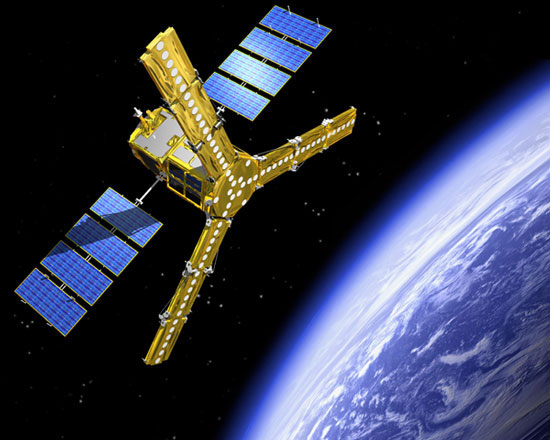
Illustration of a satellite in China's North Pole global positioning system.(Photo: china.org.cn)
The two sides will form an interconnected network covering all areas of Thailand, proceeding to expand in the countries of ASEAN Association of Southeast Asian Nations. Cooperation activities with Myanmar and Malaysia will be strengthened in the next two years.
"The North Pole positioning satellite system is expected to cover the world until 2020 with about 32 satellites," said Li Deren, chairman of North Dau Geospatial Information Industry Group in Wuhan Province. a unit participating in the project, said.
Satellite networks will improve accuracy, sensitivity and speed up location services. When covering the world, it can support power production, oil exploitation, minerals, agriculture, environmental monitoring, traffic control and many other areas.
Bac Dau is China's satellite navigation system, which functions similarly to the American GPS system, GLONASS of Russia and Galileo of Europe. Previously, only the Chinese government and military used this system to forecast weather, control traffic and support rescue operations.
- Chinese navigation system works
- Vietnam successfully used Galileo positioning signal
- America will upgrade the global positioning system
- How does navigation device work?
- How the GPS system works
- The Chinese navigation system is recognized by international organizations
- Pair of Chinese geolocation satellites flying into space
- Develop a virtual visual positioning system for pilots
- China launched the 10th positioning satellite
- Galileo global positioning satellite system has trouble
- Russia's global positioning system
- World biodiversity hot spots: ASEAN
 Van Allen's belt and evidence that the Apollo 11 mission to the Moon was myth
 The levels of civilization in the universe (Kardashev scale)
 Today Mars, the sun and the Earth are aligned
 The Amazon owner announced a secret plan to build a space base for thousands of people