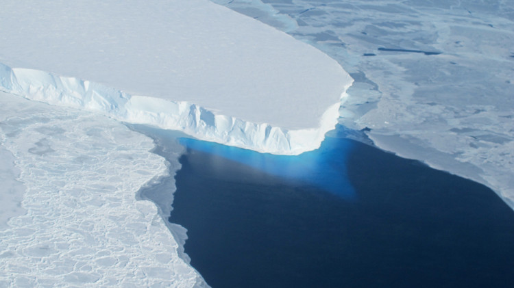
Melted glacier water subsides the ocean floor
Research by Dutch scientists indicates that the ocean floor subsides every year due to the weight of water.
Dutch experts warn that current assessment methods do not take into account the increased volume of the entire ocean as glaciers and ice shelves melt, according to Science Alert. The weight of water increases the impact on the ocean floor, causing the seabed to deform and sink.
"The Earth itself is not a rigid sphere. It's a deformed sphere. With phenomena, we not only change the temperature," said geologist Thomas Frederikse of Delft University of Technology. In the Netherlands, the main author of the study published in Geophysical Research Letters today, said.
Glaciers melt due to global warming.(Photo: NASA).
According to Frederikse, the result is that the ocean floor subsides. The increased amount of seawater actually due to barystatic sea levels is overlooked in observations based on observations from satellites. This is because satellite data only shows an increase in relative relativity from the center of the Earth (geocentric sea level rise).
"Because the satellite's altimeter measures sea level through the reference frame according to the center of the Earth, the estimates taken from this measure will not show an increase in the volume of seawater subsidence in the ocean, underestimating the impact of rising sea levels, "the team explained.
In order to calculate the degree of deformation of the ocean floor under the weight of melt ice, researchers use a lot of estimates from the loss of glaciers, Greenland and Antarctic ice shelves, and water reserves. on land, including dams to prevent water and depleted groundwater.
Between 1993 and 2014, the team calculated the total increased mass of the ocean making the sea floor sink about 0.13mm per year, or 2.5mm during the entire period. This number may not sound like much, but some areas are significantly more deformed, up to 1mm per year in the Arctic Ocean and 0.4mm per year in the South Pacific.
The team concluded that a pure assessment of sea level rise based on satellite data could lead to 8% deviation from the fact when including melted ice.
- Video: The scenery on the ocean floor if the water is dry
- Explore the ocean
- Smith Glacier Glacier melted much faster than expected
- The Antarctic glacier melted easily to raise the sea level by 3.4 meters
- The 10 most shocking mysteries of the ocean floor
- The world's most dangerous glacier is about to melt, catastrophic with Earth?
- Seabeds on the oceans are literally melted and what is the reason?
- New strange creatures are found on the deep ocean floor
- The giant ice sheet separated from Greenland
- Strong impression with the
- Portrait of 'food transporter' for the ocean floor
- Country: Things you don't know
 Is the magnetic North Pole shift dangerous to humanity?
 Washington legalizes the recycling of human bodies into fertilizer
 Lightning stone - the mysterious guest
 Stunned by the mysterious sunset, strange appearance