NASA announces the best satellite image in 2011
NASA's DigitalGlobe high-tech satellite network has just released the best satellite images in 2011.
Of the 20 satellite images taken online, Rakaria, New Zealand has won, followed by images of Auna Loa volcano, Hawaii, artificial island in Dubai .
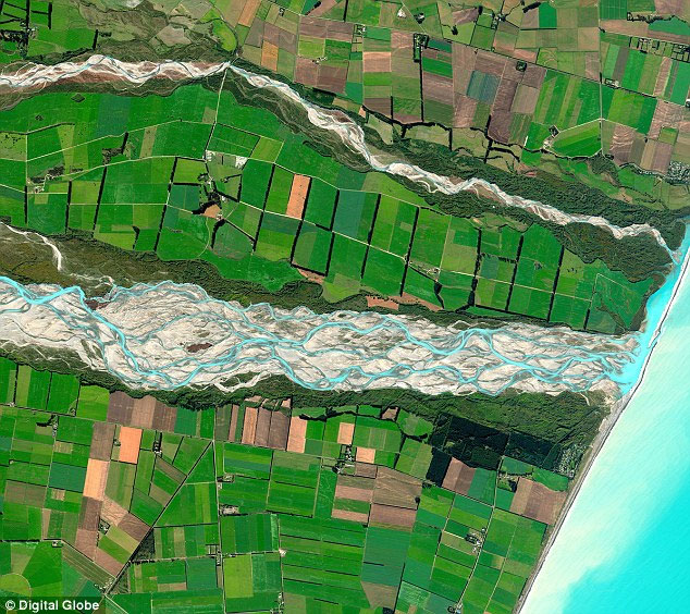
The 150km Rakaia River is located in the Canterbury Plain, the largest river in New Zealand. The river flows in the southeast and flows into the Pacific Ocean. (Photo: DigitalGlobe)
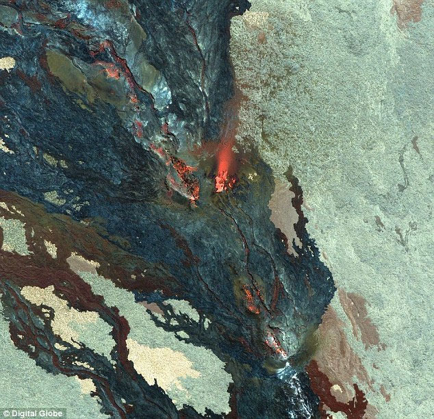
Auna Loa volcano, Hawaii is the largest and most continuous volcano on Earth. (Photo: DigitalGlobe)
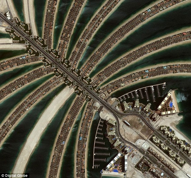
Artificial islands in Dubai, United Arab Emirates. Photos taken on June 20, 2011. (Photo: DigitalGlobe)
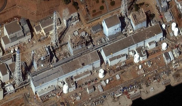
Japanese cherry blossoms - Japan in the tsunami match in March 2011 via DigitalGlobe satellite. (Photo: DigitalGlobe)
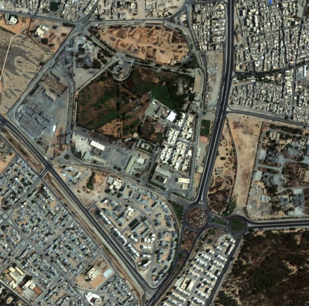
Gaddafi's camp in Tripoli, Libya was taken on August 22, 2011. (Photo: DigitalGlobe)
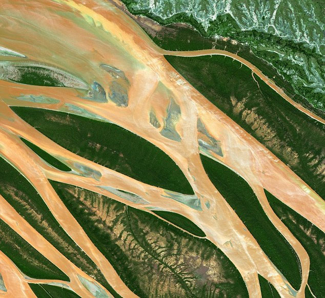
Bombetoka, northwest Madagascar landscape via satellite. (Photo: DigitalGlobe)
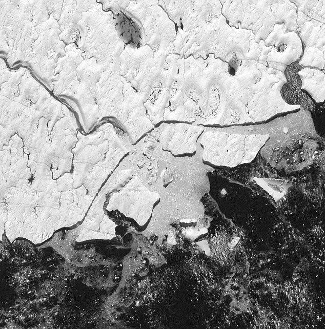
Glacier Petermann, Arctic Ocean. Scientists say that in recent years, the amount of ice in this river has melted a lot. (Photo: DigitalGlobe)

About 300 large houses in Tajalei village, Abyei and Sudan areas were burnt in August 2011. (Photo: DigitalGlobe)

Kerang City, Australia is flooded in flood waters in late January 2011. (Photo: DigitalGlobe)
- NASA announces unpublished Earth image
- NASA announces picturesque satellite imagery
- Identify the fall position of the US satellite
- Found NASA satellite missing 12 years in the universe
- This is how NASA will use it to protect chimpanzees
- NASA surveyed the installation of space satellite center in Ho Chi Minh City
- Vietnam can catch satellite fragments
- NASA announces the sharpest image of Pluto's surface
- What's hot new NASA satellite to communicate with Earth?
- In early 2006, building satellite image receiving station
- NASA announces beautiful galaxy image
- NASA launches the most modern weather satellite to date
 The 11 most unique public toilets in the world
 Explore the ghost town in Namibia
 Rare historical moments are 'colored', giving us a clearer view of the past
 The world famous ghost ship