Australia develops satellite to predict forest fires
Following the historic wildfire disaster, Australia said on March 4 that it was building a satellite capable of detecting flammable areas.
The satellite, developed by researchers from the Australian National University, is designed to operate in low Earth orbit. It is as small as a shoe box and is equipped with infrared detectors technology, which measures air humidity and forest cover below ground level.
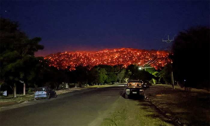
Balmattum Hill burns on the night of 4/1.(Photo: Reddit).
"The technology can also be adapted to detect changes in plants, including herbaceous plants and woody plants, such as the highly flammable eucalyptus species , " said Marta Yebra remote sensing expert.
The team plans to partner with a private company to launch satellites in the next 5 years. When operational, the device will share data with firefighters, helping determine which areas are easy to catch fire and which are difficult to extinguish if a fire occurs. As a result, the authorities can prepare a timely response method to reduce the frequency and extent of damage from wildfires.
According to experts, global warming is making Australia's summer longer and more dangerous. Winter is also getting shorter, making forest fire prevention difficult.
Australia has just experienced one of the worst forest fires in history with more than 30 people killed, thousands of houses destroyed, more than 10 million hectares of forests destroyed and at least one billion animals killed.
- The bushfire disaster in Australia is based on numbers
- The terrible forest fire caused the sky of Australia to turn black as ink at noon
- Fire in Australia seen from space
- Why terrible forest fire in Australia?
- Wildfires can change Australia forever
- The bushfire disaster in Australia comes from numbers
- Video: Fire in the wild forest in southern Australia
- How did Koala bears survive the bushfire in Australia?
- Intense wildfire creates cloud of fire, the sky turns red orange 'like the end of the world'
- The carbon emissions from forest fires in Australia are similar to the emissions of Amazon forest fires
- Dozens of large wildfires broke out in Australia
- A terrible forest fire caused the sky in Australia to turn black as ink at noon
- NASA: Smoke from wildfires in Australia flies halfway around the Earth
- The 50,000-year-old method can extinguish Australian forest fires
 The US company is about to build a supersonic passenger plane of 6,000km / h
 Japan develops avatar robot as in fiction film
 Japan introduced the first fire-fighting robot system
 Australia tested the world's first mango picking robot