The fires in Australia have started in September and have continued to date. Image recorded from satellite shows that this place is flooded with fire and dust.
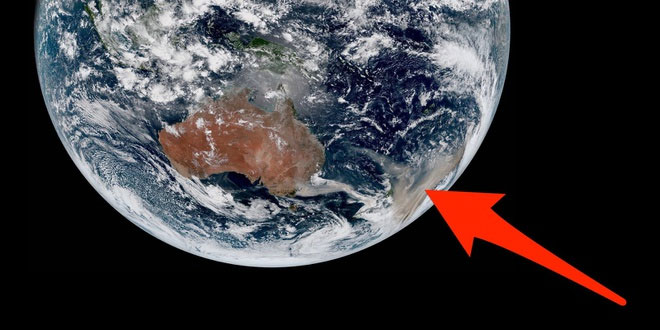
Australia is experiencing a forest fire disaster.This situation is still not fully controlled when the temperature in Australia has broken records and forecasts continue to rise.The fires have now burned more than 56,000 square kilometers of land, causing thousands of people to evacuate and adversely affect the environment.
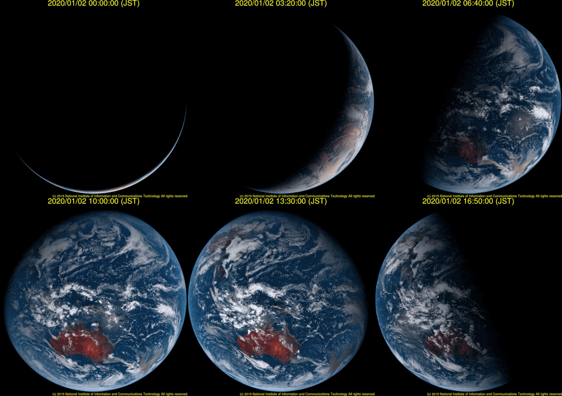
This image was taken by Japan's Himawari-8 satellite.It records changes on the Earth's surface in the Western Hemisphere every 10 minutes.You can easily see that Australia is glowing like a fire.
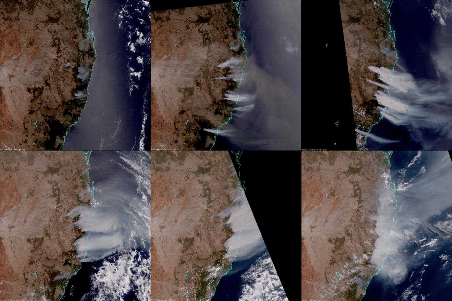
Suomi NPP satellite also recorded images in southeast Australia, showing the rising dust and smoke here.
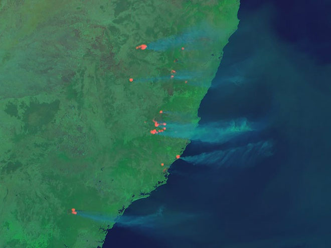
The long, red light streaks are the site of forest fires.Himawari-8 even recorded rising smoke.
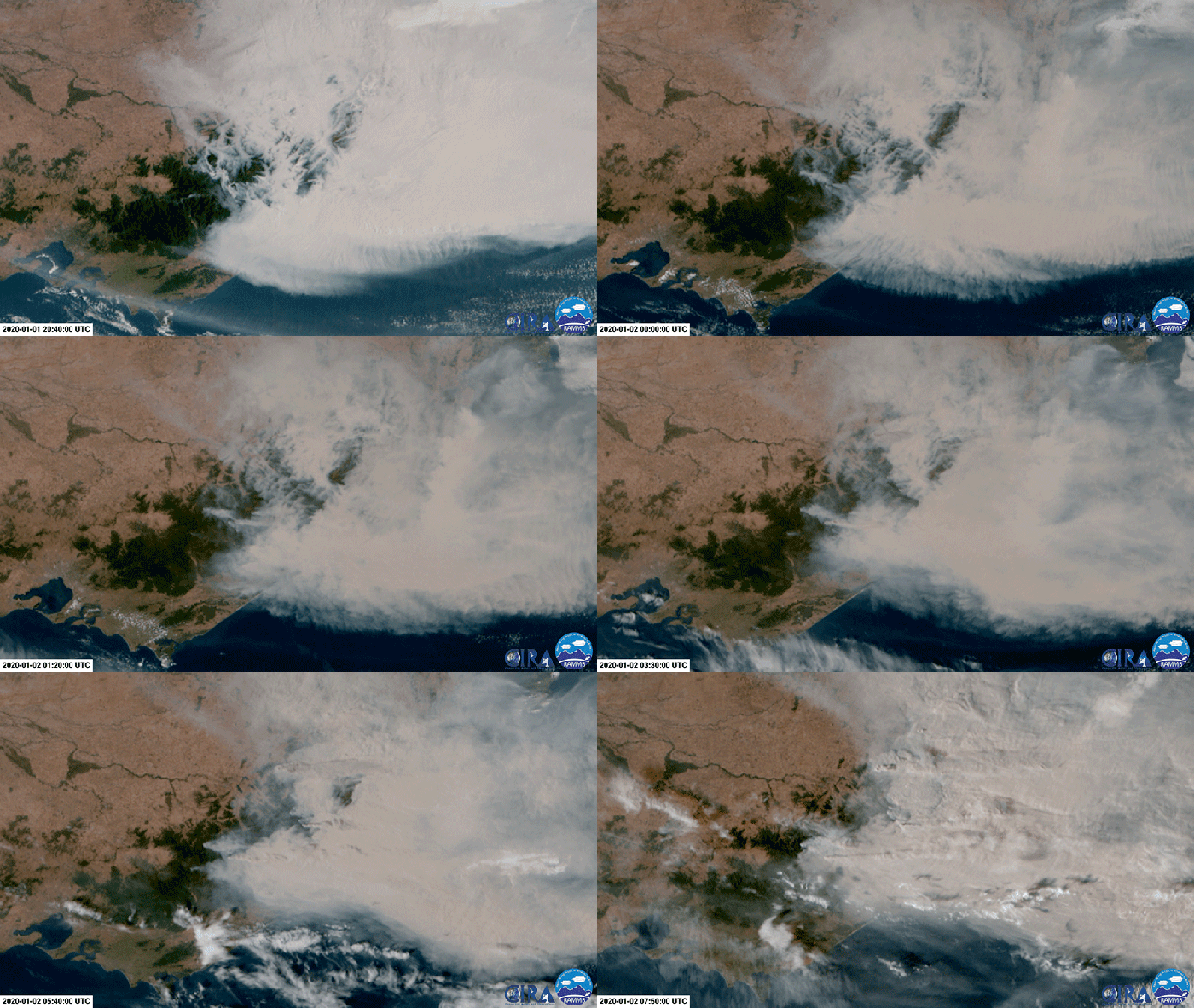
Forest fires started in September and lasted for a long time in installments due to the unusual, dry weather.This is the image of the haze from forest fires in Australia took place on 2/1.
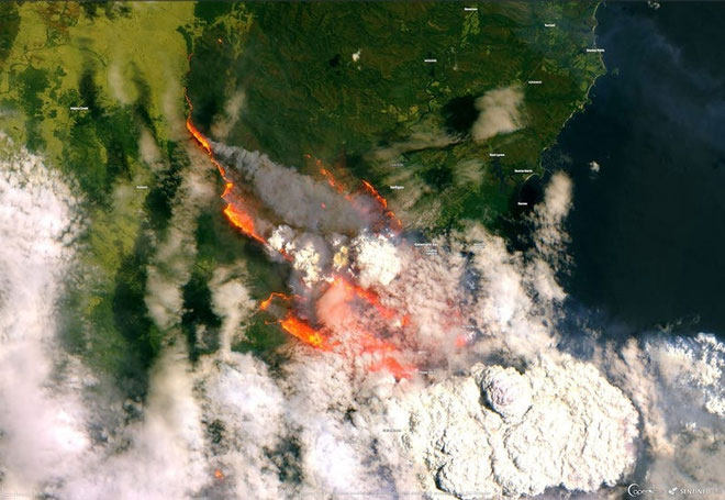
The European Space Agency's Sentinel-2 satellite has captured the image of a wildfire spreading in Australia on New Year's Eve.According to the AP, the fire caused damage to communities in New South Wales and Victoria on the southeast coast of Australia.
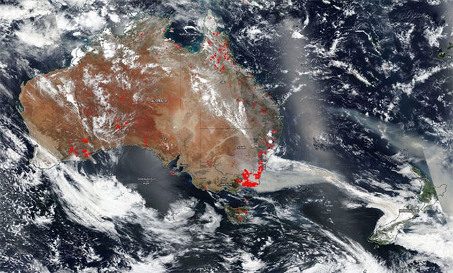
The range of forest fires is also very large.New South Wales has declared a third emergency in recent months.The previous two were in November and December 2019, each lasting 7 days.On January 2, thousands of people were evacuated from the southern coast of New South Wales.
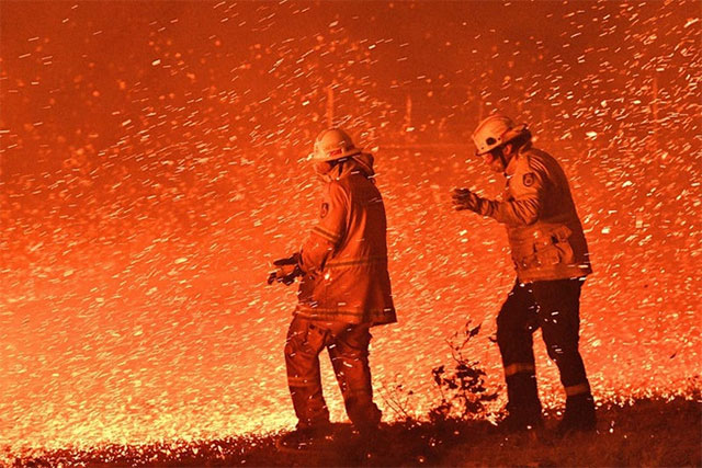
According to Business Insider, up to now, 17 people have been missing in the fires, 8 have died and thousands have been evacuated.Firefighters are working day and night to remedy this situation.
- A terrible forest fire caused the sky in Australia to turn black as ink at noon