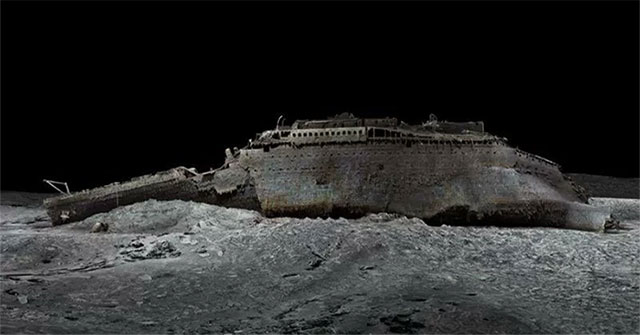
Scientists explore the deep ocean with a layered toolkit because no single vehicle can map vast areas, inspect delicate organisms and collect samples equally well. Ships, sonar, autonomous vehicles, remotely operated vehicles and crewed submersibles each fill a different role.
What the science says
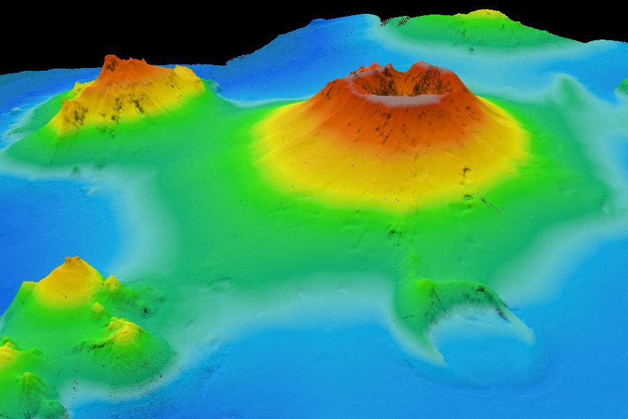
Multibeam sonar mounted on ships maps seafloor shape over broad areas. Autonomous underwater vehicles can fly closer to the bottom for higher-resolution mapping, while gliders and floats measure water properties over long periods with relatively little ship time.
How the process works
Remotely operated vehicles are connected to a ship by a cable that provides power, control and real-time video. Their robotic arms can collect rocks, animals and water samples. Crewed submersibles give scientists direct observation but are expensive and limited in endurance.
What scientists measure
Landers can sit on the seafloor to record long-term conditions, and environmental DNA can reveal which organisms have recently occupied an area. Increasingly, machine learning helps sort large image and acoustic datasets, though experts still validate biological identifications.
Limits and open questions
Exploration remains difficult because of pressure, corrosion, darkness, communication limits and cost. The result is that even well-mapped ocean regions may be biologically under-sampled, leaving substantial room for discovery.
Why this topic matters
Understanding How Do Scientists Explore the Deep Ocean helps connect individual observations to the larger scientific framework. Reliable explanations separate measured evidence from speculation, make uncertainty visible, and give readers a basis for interpreting new research as it appears.