Spectacular beautiful images of the Earth taken from MSG-4 satellites
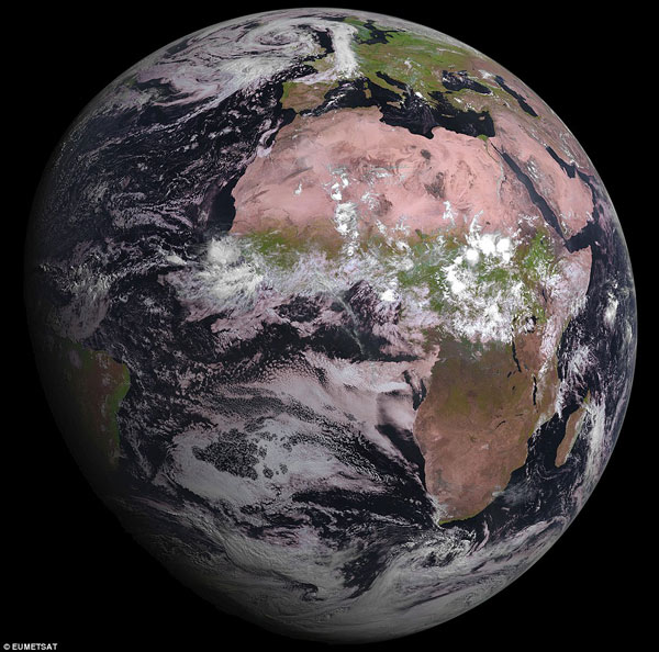
The new European Space Agency's (ESA) new severe weather tracking satellite, MSG-4, has just released the first image of the Earth - and it is a breathtaking spectacle.
ESA published the first Earth image from the MSG-4 satellite
MSG-4 satellite was launched on July 15 from French Guiana. It will send Earth's surface and air images in 12 wavelengths of different lengths, each lasting 15 minutes when operating.

Picture A breathtakingly beautiful Earth image from ESA's new weather satellite No. 1
Captured with an infrared imaging device and clarified the circular rotation (SEVIRI) of the satellite, the image clearly shows the diverse African biome, the subtropical desert dominates the Sahara, in when tropical and temperate forests dominate the south of this continent.

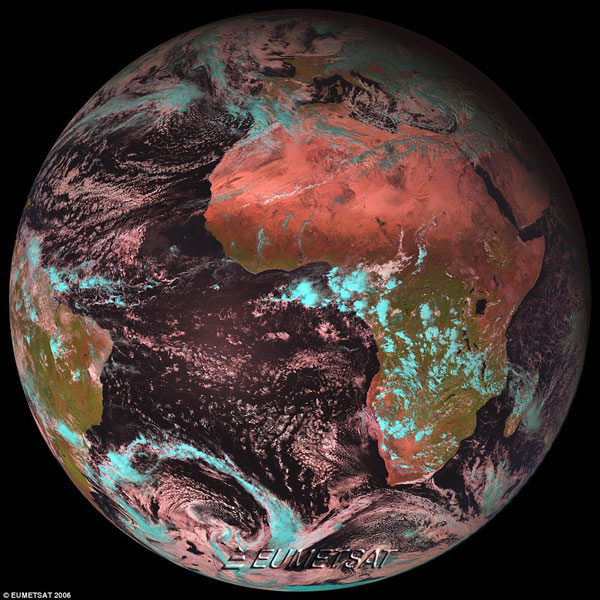
The first color image of the Earth was captured by the MSG-2 satellite in January 2006.This is the predecessor satellite of the current device.
MSG-4 is the fourth and last satellite in the second generation Meteosat satellite series (MSG). This satellite complex is a collaboration between ESA and EUMETSAT (European Meteorological Satellite Organization). Launched on July 15 by Arianne 5 , MSG-4 was set up to replace one of ESA's old MSG satellites in space.

Picture A breathtakingly beautiful Earth image seen from ESA's new weather satellite 3
This is the Earth seen on July 6, 2015 from a distance of 1 million miles, because the scientific camera is on board the Deep Space Climate Observatory recording. The picture shows the effects of sunlight being scattered in the air, forming a distinctive blue color. This image is made by combining 3 separate photos, displaying amazingly detailed Earth.
The goal of MSG satellites is to provide important information and images related to high impact weather forecasts . Data from satellites are also used to study meteorology and climate change as well as enhance risk prevention and disaster warning.
- Video: The most beautiful images ever seen about the Earth
- Chinese artificial satellites provide images of the earth
- Images show the Earth is gray, not blue
- See the fanciful Earth through satellite images
- Some unique frames about the earth viewed from satellites
- Beautiful Earth photo taken from space
- Fanciful astronomical photos
- Beautiful images are only available on Mars
- Images never published about Earth
- Artistic masterpieces named after the Earth
- 100 beautiful and spectacular places in the world (Part 2)
- Photos of the most detailed view of the Earth ever
 'Fine laughs' - Scary and painful torture in ancient times
 The sequence of numbers 142857 of the Egyptian pyramids is known as the strangest number in the world - Why?
 History of the iron
 What is alum?