These are the people who are willing to fly straight into the heart of the worst super typhoons like Florence, in order to get important figures for humanity.
Before every day of work, Jon Zawislak bit a little ginger to calm his stomach. His breakfast is also simple and dry, like biscuits, toast. It's not like it's interesting, but he doesn't want to go straight to the table while he's working.
Because Zawislak is a "Storm Hunter " - Hurricane Hunter.
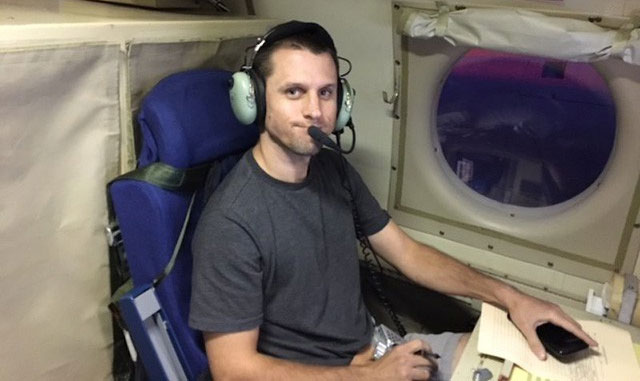
Jon Zawislak.
People fly into the super-storm center
Every day Zawislak spent 8 hours at an altitude of 16,000km, collecting data on wind, temperature, pressure, humidity and rainfall inside a large storm. "Big" here means that the wind speed must be at least 120km / h.
In other words, while everyone on the ground scurried away from the storm, Zawislak flew straight into the storm's center.
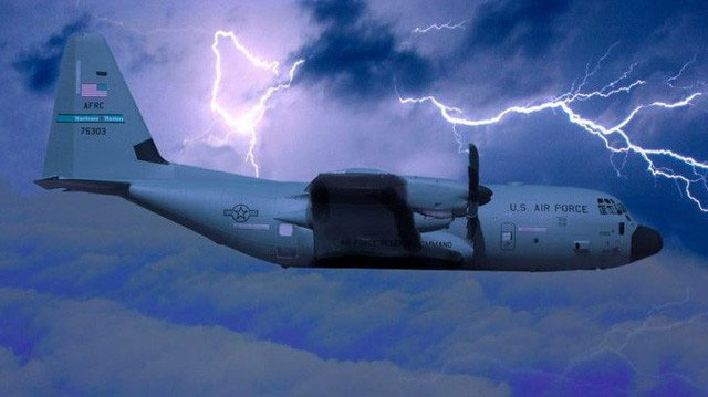
Flying into the center of the storm can provide the most accurate forecast of their direction.
"The use of aircraft is still the best tool to measure the state of a storm," he said.
"Data from the storm center, all provided by aircraft".
Within a week, Zawislak flew through two giant super typhoon battles of Isaac and Florence, collecting vital data for the National Hurricane Center to provide the most accurate forecasts in the direction. their go.
Journey to the center of the storm of a "Hunter"
The "Storm Hunting" profession appeared for the first time since 1943, during World War II period has not ended. And today, it is still a very important job.
In order to collect data, on the plane can not have simple tools.The most important thing is a radar capable of measuring wind speed and rainfall. There is also a dropsonde - parachute devices, released from aircraft. It has GPS and some sensors to measure atmospheric parameters, such as temperature and rainfall.
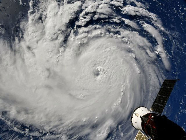
Hurricane Florence looked from space.
Within 8 hours of flying, about 20 dropsonde will be released into the storm, to determine the change in wind direction and wind speed with different heights.
"We can identify the storm in this way" - Zawislak shared. As with Typhoon Florence, it was switched from Type 2 storm (wind speed 154 - 177km / h) to Category 4 storm (speed 209 - 251km / h) thanks to the parameters from the aircraft.
According to Zawislak, the feeling of flying into the center of the storm turned out not to be as bad as many people imagine. When entering the center, everything is no different from a normal flight.
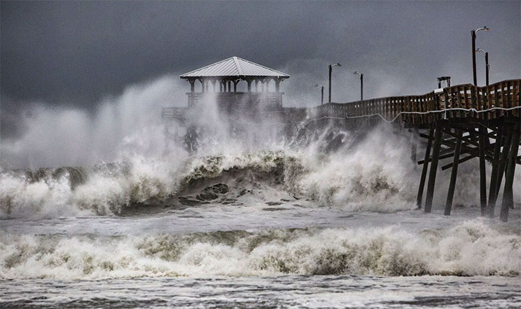
Hurricane Florence.
In the heart of the storm, the air is very fresh, stable and wind is not strong. It is like a top football stadium. On the field, everything was clear, though there were tens of thousands of fans screaming violently. Just a little out of the way is a wobbly area.
Flights are always maintained at an altitude of about 3000m, to ensure the data is collected most accurately.
"We have the best pilots, the best engineers, so we can go up comfortably."
Not everyone can do it
Zawislak is a doctor in meteorology. He has 10 years of experience collecting data from storms, both by direct aircraft and using drones.
As a longtime engineer, Zawislak was allowed to operate and manage such a flight. He will decide where to fly to get the best data, and use the information available to answer the most important questions for each storm.
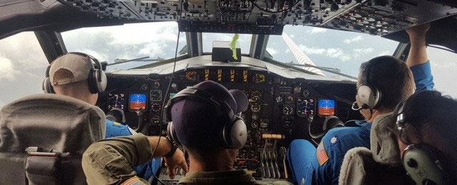
The flights are always maintained at an altitude of about 3000m.
One of the questions so far remains a mystery to science, which is why the storm can become so strong, so fast as it is today. As with super typhoon Mangkhut, it has caused tsunami columns of nearly 20 meters high, breaking down many solid houses that human beings cannot do.
With Zawislak, that question is even more important. He wants to understand more about storms to help people make the most accurate predictions when natural disasters occur.
"We are not crazy. We are doing a very important task, so the center can predict how strong the storm is."