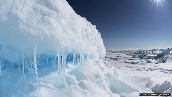
Canada started drawing seabed maps around the North Pole
According to AFP, on August 8, Canada began its scientific mission to draw seabed maps around the Arctic in the context of its efforts to claim sovereignty over the region and the surrounding sea in front of Russia and Russia. other country.

Canadian Foreign Minister John Baird said: " The government is committed to having the necessary information needed to ensure Canada receives international recognition of the full range of Canada's continental shelf, including the North Pole." .
According to Baird, a Canadian icebreaker has departed from St. Port. John's in Newfoundland and Labrador set out for the North Pole, the day before the CCGS Louis S. St-Laurent ship departed with the mission "to collect high-quality data on the landform and texture of the seabed".
Russia and Canada have overlapping claims at both the Arctic and surrounding areas, which are evaluated by the US Geological Survey (USGS) as having 13% of oil reserves and 30% of gas reserves. Unexplored natural burning of the world.
- The north pole from the Earth is moving
- Canada claims sovereignty in the far north
- The pole from the North of the Earth is ... shifting
- The pole from the North is moving to Russia
- Canada launched a new mission in the North Pole
- How does the compass tell us where the North pole is at the South Pole?
- Video: Earth has 3 north poles
- The winter is prolonged due to the North Pole spiral moving
- Why did the North Pole move toward London?
- Marvel at unexpected discoveries about the North Pole
- The Earth core pushes from the North to 60 km per year
- The solar field is about to turn polar
 Is the magnetic North Pole shift dangerous to humanity?
 Washington legalizes the recycling of human bodies into fertilizer
 Lightning stone - the mysterious guest
 Stunned by the mysterious sunset, strange appearance