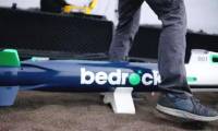
Self-charging robot maps the seabed, the last frontier of the Earth
 Over the centuries, humans have explored countless mountains, forests, and deserts. However, what covers more than 70% of the Earth's area is the ocean is still a great mystery to
The unprecedented achievements after the search MH370
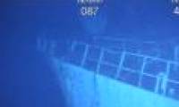
 Detailed seabed maps were made during the search of MH370 recently announced by Geoscience Australia on July 19.
Canada started drawing seabed maps around the North Pole
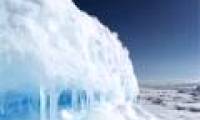
 Canada began its scientific mission to map the seabed around the North Pole in the context of its efforts to claim sovereignty over the region and the surrounding sea in front of
 Do signals from extraterrestrial civilizations detected by Sky Eye really exist?
 'City without air conditioning' in China: People don't know what heat is!
 The element of the sun god is giving scientists a headache
 Unique Village: Roofs Become Roads for Residents!
 Top 7 strange psychological effects of the brain that we all have without knowing
 Which is the most terrifying bedroom elixir in Chinese history?
 Earth's core may start rotating in reverse
 A day in Japan can be up to 30 hours long, does this country live in a different 'timeline'?