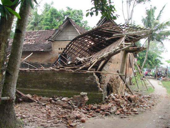
Earthquakes in Papua New Guinea and Indonesia
A strong magnitude 6.2 earthquake just happened this morning (September 13) in the Pacific island nation of Papua New Guinea, but no tsunami warning was issued, according to AFP. There are no reports of damage yet.
The US Geological Survey said the earthquake occurred at 8:44 am 13.9 (local time) with an epicenter at a depth of 34 km, off the coastal town of Wewak about 44 km east. and about 732 km north of the capital Port Moresby.

Reportedly, Papua New Guinea is located on the Pacific "Ring of Fire" , where earthquakes and volcanic eruptions often occur.
In 1998, a powerful earthquake caused a devastating tsunami that killed more than 2,000 people in the northwest region of the country.
In the morning, off the Indonesian island of Sumatra, there was also a magnitude 5 earthquake. No reports of casualties, tsunami warnings were not given.
The earthquake occurred at 1 hour 23 minutes on September 13 (local time), with epicenter at a depth of 14m, about 213km west of Tanjungkarang-Telukbetung city on Sumatra island, according to the Geological Survey Agency American quality.
- Little is known about the country hosting the 26th APEC
- 30 newly discovered orchids in Papua New Guinea
- Earthquake 6.2 Richter in Indonesia
- Strange flu outbreaks in Papua New Guinea
- The powerful 7.1 earthquake quake Papua New Guinea
- Stunned with extremely rare giant banana varieties
- Strong earthquakes in the South Pacific only cause small tsunamis
- Discovered cannibalistic tribe in Papua New Guinea
- Detection of giant mice in Papua New Guinea
- Discovering parrot species is only as small as a thumb
- Discover 200 new creatures
- Many new species were found in the Mekong and Papua New Guinea rivers
 Is the magnetic North Pole shift dangerous to humanity?
 Washington legalizes the recycling of human bodies into fertilizer
 Lightning stone - the mysterious guest
 Stunned by the mysterious sunset, strange appearance