Horror image super typhoon Maysak
The shocking images of super typhoon Maysak are sent from the international space station ISS that will let you visualize its power.
Horrifying images of super typhoon Maysak
After devastating Micronesia, Typhoon Maysak intensified into a super typhoon and is expected to land in the Philippines later this week. Astronauts on the International Space Station observed the formation and growth of super typhoons.
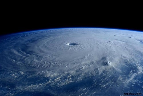
Super storm seen from ISS station.(Photo: NASA / Terry Virts)
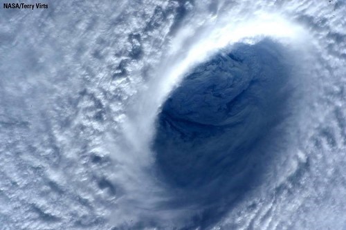
The giant storm eye is 15 nautical miles wide.(Photo: ESA / NASA)
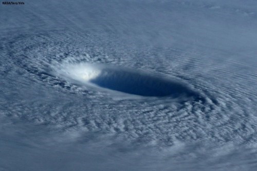
With a wind speed of 160 mph (257km / h).(Photo: NASA / Terry Virts)
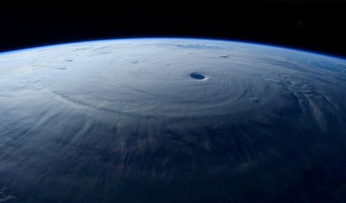
The destructive power is expressed through the width of the storm.(Photo: ESA / NASA)
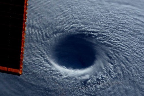
Maysak super typhoon reached the highest level - level 5 in the storm scale within 24 hours.(Photo: NASA / Terry Virts)
- Level 13 storm approaching the East Sea
- Horror image of the strongest storm of the year seen from the universe
- The 10 biggest storms recorded in history
- Why do a series of super storms suddenly appear around the world?
- The first super typhoon of 2014: Super typhoon Neoguri flipped on the sea
- Big storms destroy the world
- Video: Desolate scene in Tacloban seen from above
- The steps needed to survive the super typhoon
- The horrific image when the super typhoon Hagibis ripped up the house, causing many people to die
- The North urgently resisted Typhoon Haiyan
- Hanoi plans to respond to super typhoon Mangkhut
- Millions of Indians face the biggest storm in decades
 Is the magnetic North Pole shift dangerous to humanity?
 Washington legalizes the recycling of human bodies into fertilizer
 Lightning stone - the mysterious guest
 Stunned by the mysterious sunset, strange appearance