Discover science
The world's first crop map from satellite imagery
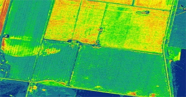
Pakistan's Tribune website on September 1 reported that Pakistan became the first country in the world to use satellite imagery to map crops.
Browse ScienceInfo articles and explainers related to Crop Maps.
1 published item.
Pakistan's Tribune website on September 1 reported that Pakistan became the first country in the world to use satellite imagery to map crops.