El Nino is about to appear
The combined results of the Australian National Climate Center (NCC) on 12 forecast models of major forecasting centers in the world show the possibility of El Nino in December 2006 and January and February. -2007 is very big.
According to the latest news from the US Climate Prediction Center, the anomalies of the atmosphere and ocean in the Pacific equator are in line with the first phase of El Nino.
By the beginning of November 2006, the sea surface temperature was higher than the average of 0.5 o C on most of the Pacific equatorial area, exceeding 1 o C in the area between 170 o east - 145 o west , between 130 o west and South America coast. Most statistical models and motivation predict the El Nino conditions will continue until early 2007.
The report of the International Research Institute for Climate Forecasting (IRI) also predicts that by mid-November 2006, sea surface temperature is higher than 1 o C above the Pacific equator, exceeding 1, 5 o C in the center and area close to the coast of South America. Recent observations and forecasts suggest that the ability to maintain El Nino conditions will continue to develop until early 2007.
The number of storms affecting Vietnam will be less when El Nino appears
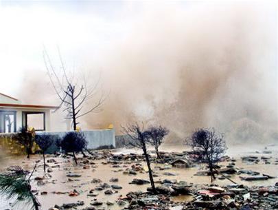
(Documentary photo, TTO)
From the above analysis and forecasted information, it is possible to identify the possibility of El Nino phenomenon in the next three months. If the evolution of the Pacific equator and atmosphere is predicted, then El Nino will officially appear in December 2006.
Although the international hydrometeorological authorities have not officially announced the occurrence of El Nino, the impact of this phenomenon on the global and regional climate has been relatively obvious. That is a significant shortage of rainfall in the western Pacific, including Southeast Asia and eastern Australia. Frequency of storms and tropical depressions in the Pacific Northwest, including the South China Sea is 2-3 times less than the average of many years. The US Climate Diagnostic Center warns that the apparent impacts of El Nino on rain in the western Pacific can begin from November 12, 2006.
In Vietnam, according to the results of many years' climate studies, when there is El Nino, the cold waves are usually less, concentrating in the main months of winter such as December, January and the winter monsoon usually ends soon more than usual. Meanwhile, summer monsoon winds are weaker and arrive later than usual. Rainfall will be deficient in most regions in the country, the level of deficiency varies from 25-50%. The place with the highest deficit is the Central (including North Central and South Central). Vietnam's temperature will be about 1 o C higher than the average in the Central region and 0.5-1 o C in the remaining regions. In the years of El Nino, the number of storms, tropical depressions operating in the East Sea and affecting Vietnam is often less than normal, more concentrated at the beginning of the storm season.
DAO THI THUY ( Center for Meteorological and Climate Forecast, Institute of Meteorology and Hydrology
- El Nino 2015 looks strange with the peak of 1997
- El Nino changes may cause many storms to land
- Nature is angry, El Nino will be more intense
- Can 2015 El Nino cause more natural disasters?
- The origin of the term El nino
- El Nino can last until May 2010
- El Nino is coming back
- El Nino is about to end in the Caribbean
- El Nino may stop working in the middle of this year
- There is no link between El Nino and climate change
- El Nino is back
- El Nino is getting worse due to rising temperatures
 Is the magnetic North Pole shift dangerous to humanity?
 Washington legalizes the recycling of human bodies into fertilizer
 Lightning stone - the mysterious guest
 Stunned by the mysterious sunset, strange appearance