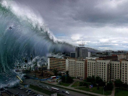
NASA developed a new tsunami forecast system
A NASA research team has just succeeded in testing a tsunami-based prediction system, helping researchers assess large earthquakes and accurately estimating the size of the tsunami.
Scientists have used 'real-time' data from the Global Positioning Network (GDGPS) network. The network can estimate the location of the tsunami every second and detect small ground movements of a few centimeters. Song, the lead researcher, said: 'This test proved successful, that the coastal GPS system is effective in predicting the size of tsunamis'.
John LaBrecque, manager of NASA's Solid Earth and Natural Hazards program, said: 'This allows specialized agencies to make better and earlier warnings to save many lives and minimize unnecessary alarms. setting, affecting the lives of coastal residents. The value of combining real-time observations with GPS accuracy and artificial satellites, advanced Earth models have been proven successful '.

NASA's new tsunami forecasting system will help provide the earliest and most accurate warning for coastal residents.
Song's prediction method relies on data from coastal vantage stations, near the earthquake center, along with the slope information from the continental shelf to the local ocean floor to estimate energy from those Seabed earthquakes create, the source of tsunamis.
Previous tsunami forecast models were based on assuming a longitudinal sea floor change in relation to the earthquake. This theory has completely failed in the past.
Currently, Song's theory shows that sloping from the continental shelf to the ocean floor also contributes to the power of tsunamis by transferring the energy of kinetic energy to the giants.
The earthquake on February 27, the network of NASA's GDGPS station in Santiago, Chile, detected its ground movement, about 234 km from the epicenter of the earthquake. These data were transmitted to Song's system in a few minutes of the earthquake, allowing it to acquire the dynamics of the seabed.
Based on the GPS information, Song carefully calculated the starting point of the tsunami energy. This is a moderate tsunami, around 4.8 / 10. His conclusion is based on the fact that GPS data only detects small movements on the sea surface due to the transmission of energy from the earthquake effect on the ocean.
NASA scientists will continue to try to perfect the tsunami forecasting system, to avoid the immeasurable and terrible consequences of the sea's anger.
- China developed a new tsunami warning system
- Why is the Indonesian tsunami warning not activated?
- Develop tsunami warning method by GPS
- The risk of tsunami with Vietnam will be very high?
- Japanese tsunami system focused on evacuating people
- Mathematical tsunami forecast
- Japan's new
- India installed a tsunami warning system in the South China Sea
- Indonesia has a new tsunami warning system
- New method to forecast tsunamis
- Extend the tsunami warning system function
- Japan: put into use the new tsunami warning system
 Is the magnetic North Pole shift dangerous to humanity?
 Washington legalizes the recycling of human bodies into fertilizer
 Lightning stone - the mysterious guest
 Stunned by the mysterious sunset, strange appearance