Environment
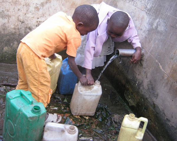
Africa lies on a huge underground water tank
British scientists say that the dry continent of Africa lies on a giant groundwater tank, with a volume of over 100 times the surface water. However, extensive well-dril…
Browse ScienceInfo articles and explainers related to Map.
493 published items.
British scientists say that the dry continent of Africa lies on a giant groundwater tank, with a volume of over 100 times the surface water. However, extensive well-dril…

US and UK researchers have just completed the genetic mapping of tea plants, a crop that promises to bring the necessary bioenergy to human needs.
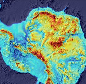
Scientists have just completed the most detailed map of the sunken part of the white continent, which is a map of the Antarctic bottom mountain range. This startling ima…
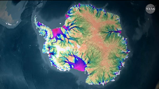
The first complete map of the speed and direction of the Antarctic glaciers has been completed by scientists under the auspices of NASA, the US National Air and Space Ad…
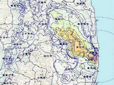
Japan's Ministry of Education, Culture, Sports, Science and Technology (MEXT) on June 21 published a map of the distribution of radioactive concentrations accumulated in…
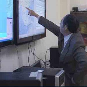
On average, it takes about 50-60 minutes to determine earthquake parameters and transfer information to relevant agencies ...
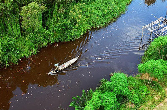
Ecosystem Atlas helps monitor environmental ecological changes to serve sustainable development on Earth.
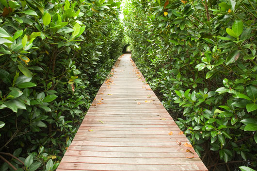
Countless people have survived by hiding forests near the coast, when the 2004 tsunami killed more than 230,000 people in Indonesia, India, Thailand and Sri Lanka.
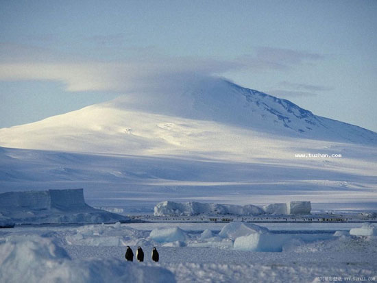
Chinese scientists became the first to successfully map the entire area of Antarctica at a scale of 1: 100,000.
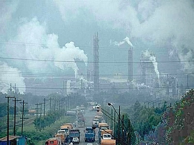
The newly published global air quality map of the US Aerospace Agency shows that North Vietnam has a high level of pollution.

NASA scientists have come up with a new way of developing radar systems and aviation maps for earthquake alert purposes.

After four years of research, the Southern Geological Mapping Division has completed a map of earthquake and impact sources to HCMC ...

The world has only about 3,200 tigers left in the wild and they are facing increasing risks.

When the earth's temperature rises by 4 degrees Celsius, food production will decline sharply, the number of forest fires and floods ... increases in many countries.
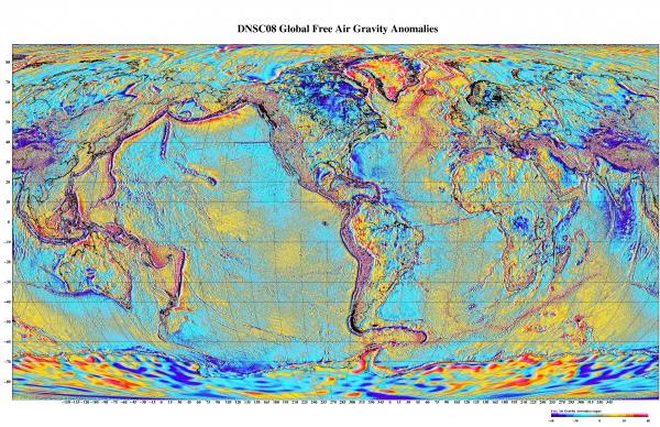
A map of Earth's gravity based on satellite measurements will make it easier to find new oil fields.