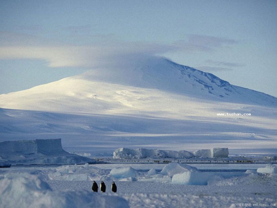
Chinese scientists became the first to successfully map the entire area of Antarctica at a scale of 1: 100,000.

98% of Antarctic strata is ice. (Source: Internet)
According to Prof Xiaowen, deputy director of the Institute of Globalization Science and Earth System of Beijing Normal University, scientists have collected maps of Six band ETM mosaics with a range of 15m from 1,100 shots. photos of the entire Antarctic during the period 1999-2003 by applying many key technologies.
Scientists will use this map to decipher the extent of the Antarctic land cover. It will then mobilize the Antarctic survey teams to the scene to test the reflex level of this map.
Professor Trinh said the map showed the difference in the coverage of Antarctic lands. The results of this study will provide more accurate ground parameters for scientists to forecast the climate system model, while providing important data for scientists to monitor long-term variability. change of Antarctic type.
 Is the magnetic North Pole shift dangerous to humanity?
 Washington legalizes the recycling of human bodies into fertilizer
 Lightning stone - the mysterious guest
 Stunned by the mysterious sunset, strange appearance