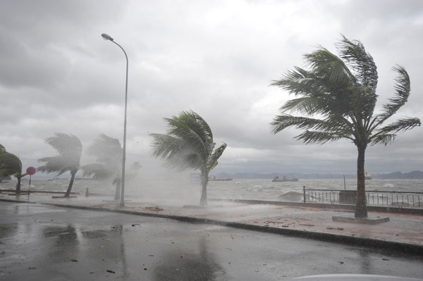
The South China Sea is about to be stormed, warning of heavy rain
At 01:00 on October 12, the low pressure area in the North East Sea area is located at about 16.5-17.5 degrees North latitude; 113.3-114.3 Kinh Dong, on the eastern sea of Hoang Sa archipelago.
Forecast: Low pressure areas tend to shift toward the waters off the central central provinces.
Due to the influence of low pressure circulation, the northern sea of the Paracel Islands, the waters off Quang Tri-Quang Ngai provinces have strong winds of level 5, sometimes level 6, level 7-8 shock and strong thunderstorms ; rough sea. From tonight, in the Gulf of Tonkin, there is strong northeast wind level 6, shock level 7-8; rough sea. Disaster risk level: level 1.

From October 12 night to the end of October 15 in provinces from Thanh Hoa to Quang Ngai, there was a big rain.
In addition, due to the strong southwest monsoon activity level 4-5, sometimes level 6, shock level 7-8 should be between the South and South China Sea (including the waters of the Spratly Islands), the waters from Binh Thuan to Ca Mau, Ca Mau to Kien Giang and the Gulf of Thailand continue to have strong thunderstorms. Sea waves are 2-3 meters high; rough sea. Disaster risk level: level 1.
Warning on large areas of heavy rain
Due to the combination of low pressure areas, northeast monsoon winds and high winds in the east, the night from October 12 to October 15 in provinces from Thanh Hoa to Quang Ngai has a very big rain (above 200mm / whole time, particularly in South Nghe An-Hue area, about 300-500mm). Disaster risk level: level 1-2.
In the South Central Highlands and the South in the next 2-3 days, there will continue to be moderate rain and rain, in some places heavy and scattered rain.
- Heavy rains in southern China killed 26 people
- Tropical depressions cause heavy rain in the northern mountainous areas
- Tropical depression on the South China Sea strengthened into a storm - storm Bebinca
- Bailu stormed against the East Sea, Ha Tinh - Quang Tri with heavy rain
- In the North, there is still a large area of rain, the Central Vietnam has ended the heat
- Unpredictable heavy rain warning in Western Japan
- Sanba stormed into South Korea, 1100 people evacuated
- China: Nearly 100 people died and went missing because of the flood
- Heavy rain raged in China and Thailand
- Hurricane number 9 with shock level 12 is 100km from Phu Quy island, the area of heavy rain is very affected
- Heavy rain in the UK, 800 houses were flooded
- Heavy rains last in China, killing 15 people
 Is the magnetic North Pole shift dangerous to humanity?
 Washington legalizes the recycling of human bodies into fertilizer
 Lightning stone - the mysterious guest
 Stunned by the mysterious sunset, strange appearance