NASA announced a global landslide map, including Vietnam
Landslide maps provided by NASA can be an effective means of assisting countries to anticipate landslides that could jeopardize people's lives.
Prolonged rains often lead to dangerous consequences not only for flooding of pipes and floods, but also extremely dangerous landslides, burial of people, cattle and crops.
However, unlike natural disasters such as storms, volcanoes or earthquakes that are historically recorded, landslides sometimes do not occur on a large scale but appear only in places with weak soil structures. like hilly areas. Therefore, NASA has gradually become more interested in this natural phenomenon.
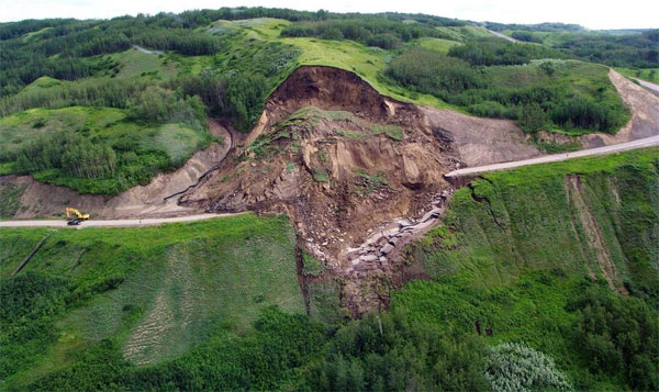
The hilly and mountainous area is often the most vulnerable place to landslides, very dangerous for passersby.
Beginning in 2010, NASA has released a map of global landslides . The database is compiled from reports of landslides all over the world, including the location of landslides and even the type of rainfall that occurs in that area.
- Use fiber optic sensors to forecast landslides
According to statistics from mid-2007 and 2015, the world has recorded more than 25,000 people killed by landslides all over the world. With this map data, NASA hopes local weather forecasters can provide the most accurate and timely alerts to local people to minimize the damage caused by this natural phenomenon. cause.

Map of landslides and number of casualties in Vietnam in recent years.
In the map data shows, areas of landslides often focus mainly in Asia and Southeast Asia, where there is a long rainy season and often affected by tropical storms.
The map displays the number of landslides due to rain and the number of deaths reported in the 2007-2015 period. (NASA Source).
- Serious landslide in California viewed from NASA satellite
- Dell Vietnam announced battery change and added distributors
- The garbage mountain landslide in Ethiopia: The number of people killed increased to 48
- NASA announces new information about Mars
- NASA's Global Hawk drone
- Global Firepower ranks Air Force, Navy Vietnam
- Vietnam can catch satellite fragments
- Vietnam will soon cooperate with NASA
- Landslide in Nepal caused 8 deaths, 200 missing
- Vietnam cooperates with NASA on the universe
- NASA revealed the whole mission mission 22.5 days back to the Moon
- Discovered 3 new animals in Vietnam
 Is the magnetic North Pole shift dangerous to humanity?
 Washington legalizes the recycling of human bodies into fertilizer
 Lightning stone - the mysterious guest
 Stunned by the mysterious sunset, strange appearance