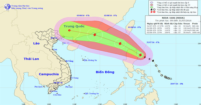
EnvironmentTropical depression strengthened into a storm in the East Sea, with its international name Nida. The strongest wind power is near the center of a strong storm level 12,…
December 16, 2018
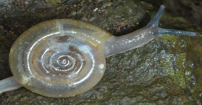
EnvironmentTwo of the endemic species are ghost snail and begonia, which are studied in Hon Chong limestone mountains, Kien Giang province, are at risk due to limestone mining.
December 16, 2018
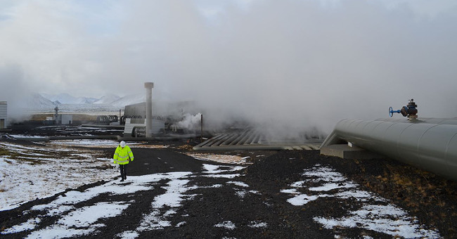
EnvironmentAn international team of scientists has successfully pumped carbon dioxide (CO2) deep underground and turned this toxic gas into stone.
December 16, 2018
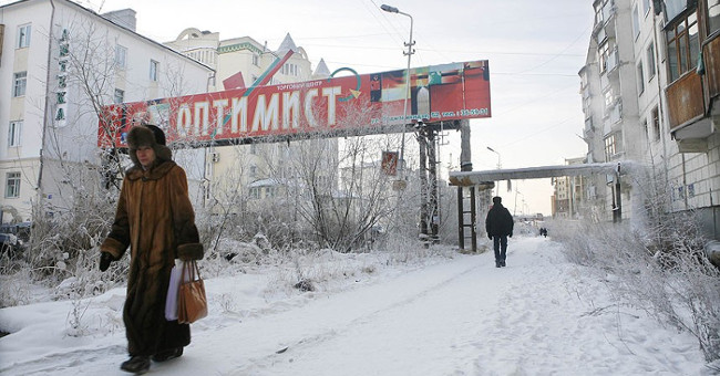
EnvironmentThese villages are still populated, still have common community activities, only that the temperature in these places is always measured in tens of degrees Celsius.
December 16, 2018
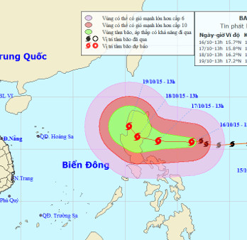
EnvironmentCurrently, a very strong storm is operating in the waters off the eastern Philippines and has an international name as Koppu.
December 16, 2018
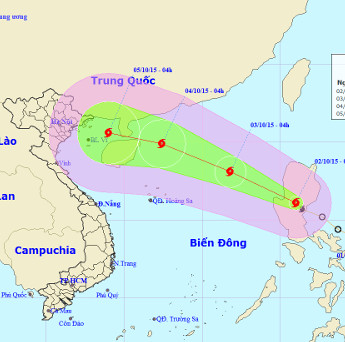
EnvironmentEarly this morning (October 2), the depression strengthened into a storm and the international name was MUJIGAE.
December 16, 2018

EnvironmentThe US Aeronautics and Space Administration (NASA) publishes satellite images of recent natural disasters.
December 16, 2018
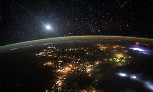
EnvironmentRed heterogeneous lightning is an optical activity associated with strong lightning, which takes place in a very short time.
December 16, 2018
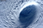
EnvironmentThe shocking images of super typhoon Maysak are sent from the international space station ISS that will let you visualize its power.
December 16, 2018
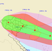
EnvironmentIt is forecasted that in the next 24 hours, the storm will move in the West-Northwest direction, about 25 - 30km per hour and there is also a strong possibility.
December 16, 2018
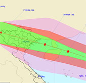
EnvironmentAt 16 o'clock on September 15, the location of the center of the storm was about 18.7 degrees north latitude; 115.4 degrees east longitude, about 380 km from Hoang Sa ar…
December 16, 2018
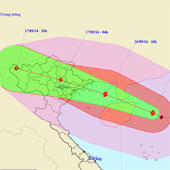
EnvironmentAt 4 o'clock on September 16, the location of the storm center is about 19.4 degrees north latitude; 112.2 degrees east longitude, on the eastern sea of Hainan Island…
December 16, 2018
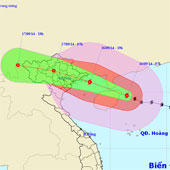
EnvironmentAt 07:00 on September 16, the location of the storm center is about 19.7 degrees north latitude; 111.5 degrees east longitude, on the eastern sea of Hainan Island (Chi…
December 16, 2018

EnvironmentThis afternoon (September 16), Typhoon 3 crossed the northern island of Hainan (China) into the North Sea of Tonkin Gulf.
December 16, 2018
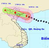
EnvironmentCurrently the storm is directly affecting the Gulf of Tonkin and coastal areas of the Northern provinces, in Bach Long Vi island, there is strong winds of level 10, shoc…
December 16, 2018