Environment
Storm No. 12 weakens into a tropical depression
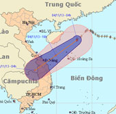
At 4 o'clock on November 4, the position of the center of the storm is about 18.9 degrees North latitude; 112.9 degrees east longitude, about 240 km from Hoang Sa archip…
Browse ScienceInfo articles and explainers related to Sea.
3,672 published items.
At 4 o'clock on November 4, the position of the center of the storm is about 18.9 degrees North latitude; 112.9 degrees east longitude, about 240 km from Hoang Sa archip…
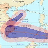
At 07:00 on November 4, the position of the tropical depression center was about 8.6 degrees Vi Bac; 125.9 degrees Kinh Dong, in the southern coastal region (Philippines…
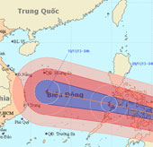
At 04:00 on November 7, the location of the storm center is about 8.4 degrees North; 133.6 Kinh Dong, about 780km from Min - Da - Nao Island (Philippines) to the East.
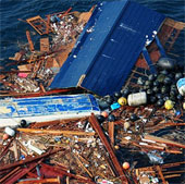
The huge waste-sized island of Texas is on its way to land in the US, threatening to cause catastrophe for human and marine life.
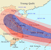
At 04:00 on November 8, the location of the center of the storm is about 10.8 degrees Vi Bac; 125.9 degrees east longitude, on the east coast of central Philippines
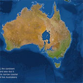
Five major Australian cities disappeared and the 'Kangaroo Land' was mixed in a sea of water the size of Ireland.
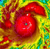
Haiyan typhoon, the most highly rated in the world this year, is landing in the Philippines with an average wind speed of 310km / h.
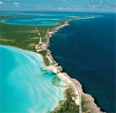
Eleuthera Island in the Bahamas is where the Atlantic Ocean and the Caribbean Sea come together only through a rock slit, bringing the most exciting images of nature.
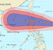
Currently, a storm is operating in the Eastern Philippines and has an international name of KROSA.
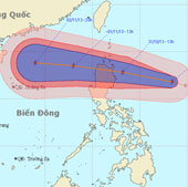
At 13:00 on October 30, the location of the center of the storm is about 16.8 degrees Vi Bac; 128.4 degrees Kinh Dong, about 670km from Lu-Dong Island (Philippines) to t…
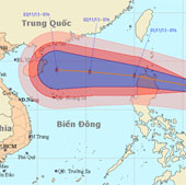
At 01:00 on October 31, the location of the center of the storm is about 17.5 degrees north latitude; 125.4 degrees Kinh Dong, about 340km from Lu-Dong Island (Philippin…
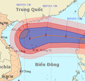
At 13 o'clock on October 31, the location of the center of the storm was about 18.0 degrees north latitude; 123.1 degrees east longitude, on the northeastern coast of Lu…
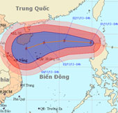
Early this morning (November 1), hurricane KROSA crossed Lu-Dong Island (Philippines) into the northeastern area of the East Sea - the storm No. 12.
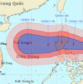
Currently, a storm is operating in the Eastern Philippines and has an international name as NARI.
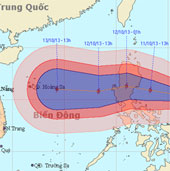
At 01:00 on October 11, the location of the storm center is about 15.3 degrees Vi Bac; 125.4 degrees Kinh Dong, about 400km from Lu-Dong Island (Philippines) to the East.