Environment
Super Typhoon Haiyan and questions about climate change
How can climate change affect storms, super typhoons, tornadoes? Can this effect be calculated?
Browse ScienceInfo articles and explainers related to Sea.
3,672 published items.
How can climate change affect storms, super typhoons, tornadoes? Can this effect be calculated?
On November 13, the United Nations World Meteorological Organization (WMO) published a report confirming that in 2013, the global sea level rose to a record high.
Typhoon Haiyan is considered one of the strongest storms in the history of hydrometeorology in the world as well as in Vietnam.
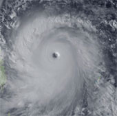
Typhoon Haiyan is entering the South China Sea as the strongest storm in many years, threatening to cause great damage.
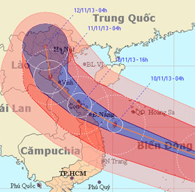
As the first island to receive a historic storm, this morning, Song Tu Tay had rain, strong winds hissed. Typhoon has weakened slightly with a gust of 133km / h.
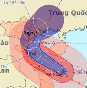
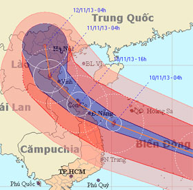
Haiyan typhoon is moving fast in the direction of gradually going north, along the central provinces, towards Thanh Hoa sea to Nam Dinh with decreasing intensity.
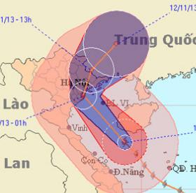
Haiyan is continuing to move north and soon is 10pm tonight, latest at 3-4h tomorrow morning, the storm center goes into the three provinces of Hai Phong, Thai Binh and…

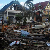
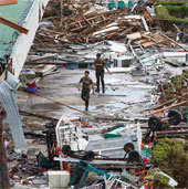
Two days after the typhoon Haiyan swept over, the central Tacloban city became a desolate graveyard with most of the houses flattened and dead bodies everywhere.
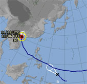
While Typhoon Haiyan is causing heavy rain and high winds in Quang Ninh, Hai Phong, in the East Sea, a tropical depression appears, the possibility of strengthening into…
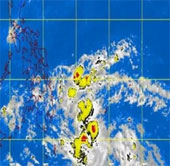
Philippine weather forecast agency this morning, November 11, reported that the new tropical depression has formed a risk of typhoon Zaraida.
At 11:00 this afternoon, Typhoon Haiyan came out of the Vietnamese border and entered Guangxi Province (China).
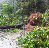
Quite a number of provinces in the North also suffer the same fate
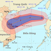
At 10 o'clock on November 1, the position of the center of the storm was about 19.0 degrees north latitude; 118.7 degrees Kinh Dong, about 740 km from Hoang Sa archipela…
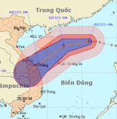
At 04:00 on November 2, the location of the center of the storm was about 19.4 degrees North latitude; 116.0 degrees Kinh Dong, about 510 km from Hoang Sa archipelago to…
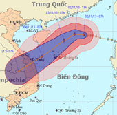
At 07:00 on November 2, the location of the center of the storm was about 19.5 degrees North latitude; 115.8 degrees Kinh Dong, 490 km from Hoang Sa archipelago to the N…