Environment
Super storms appear near the East Sea
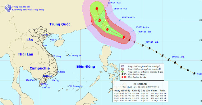
Super typhoon named Nepartak has just appeared in the waters off the northeastern island of Luzon (Philippines) but it is unlikely to affect the mainland of Vietnam.
Browse ScienceInfo articles and explainers related to Path.
239 published items.
Super typhoon named Nepartak has just appeared in the waters off the northeastern island of Luzon (Philippines) but it is unlikely to affect the mainland of Vietnam.
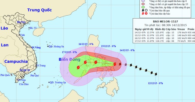
At 14:00 on December 14, the location of the center of the storm Melor was about 12.6 degrees North latitude; 124.6 degrees east longitude, on the eastern region, centra…
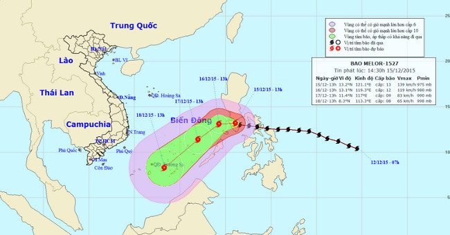
At 14 o'clock on December 15, the location of the center of the storm Melor was about 13.2 degrees Vi Bac; 121.1 degrees Kinh Dong, in the Central Philippines region.
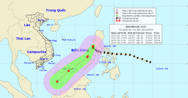
At 14 o'clock on December 16, the location of the center of the storm was about 14.5 degrees north latitude; 119.6 Kinh Dong, about 680km from Song Tu Tay Island (belong…

Devil's Tower in Wyoming, USA: It is a giant basalt rock up to 280m high, formed from volcanic lava, which is formed by wind and invading rain. According to scientists,…
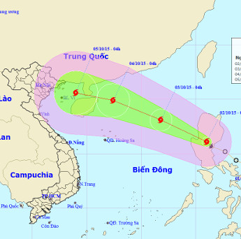
Early this morning (October 2), the depression strengthened into a storm and the international name was MUJIGAE.
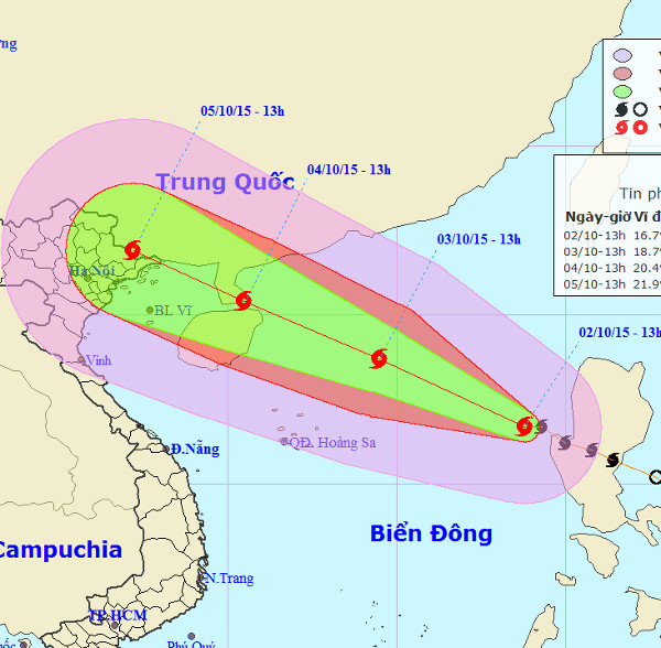
With a traveling speed of 20-25km / h, Typhoon Mujigae is likely to land in Quang Ninh - Hai Phong on the morning of October 5.
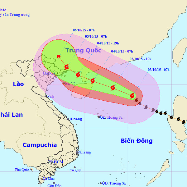
According to the Center for Hydrometeorological Forecasting in the next 24 hours, the storm No. 4 moves in the West-Northwest direction, each hour is about 20km and has…
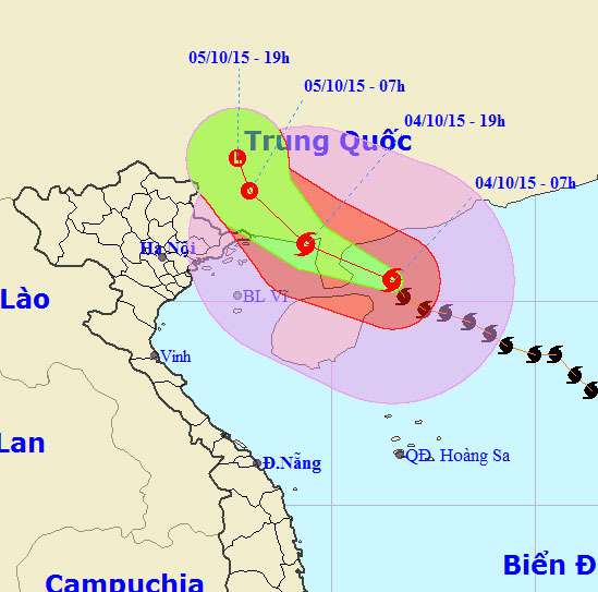
Central Center for Hydrometeorological Forecasting said that, due to the impact of the 4th storm, from this evening (October 4), the North Gulf of North Sea has strong w…
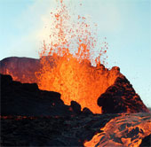
By tracking the path of 273 strong seismic events over the past 20 years, scientists at UC Berkeley have for the first time created a 3D map of the structure inside the…
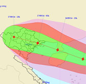
It is forecasted that in the next 24 hours, the storm will move in the West-Northwest direction, about 25 - 30km per hour and there is also a strong possibility.
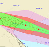
At 16 o'clock on September 15, the location of the center of the storm was about 18.7 degrees north latitude; 115.4 degrees east longitude, about 380 km from Hoang Sa ar…
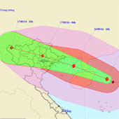
At 4 o'clock on September 16, the location of the storm center is about 19.4 degrees north latitude; 112.2 degrees east longitude, on the eastern sea of Hainan Island…
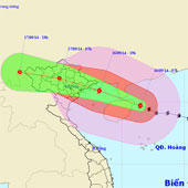
At 07:00 on September 16, the location of the storm center is about 19.7 degrees north latitude; 111.5 degrees east longitude, on the eastern sea of Hainan Island (Chi…
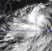
Currently, a storm is operating in the waters off Central Philippines and has an international name as Kalmaegi.