Conquer Mars
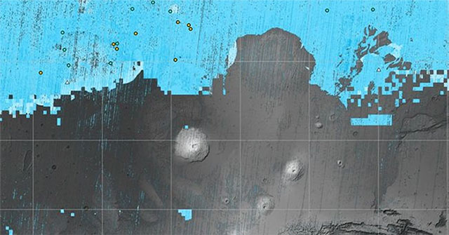
NASA releases ice map on Mars
Mapping the ice under the surface of Mars will help mission planners decide on potential landing spots for future astronauts.
Browse ScienceInfo articles and explainers related to Mars Surface.
55 published items.
Mapping the ice under the surface of Mars will help mission planners decide on potential landing spots for future astronauts.
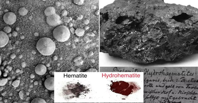
Objects in NASA's early images of the surface of Mars - round structures thought to be lower organisms, others to be rocks - may be hydrohematite.
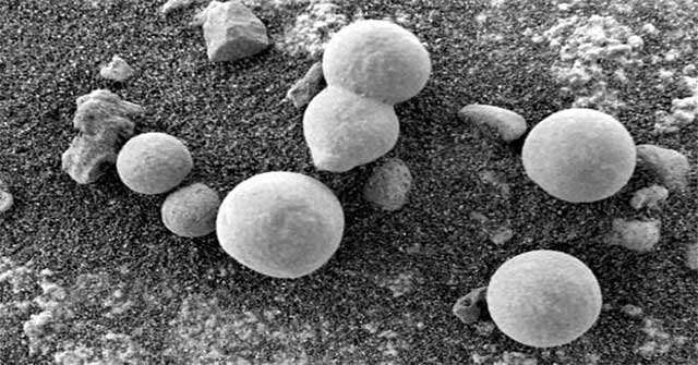
Many scientists believe that some images of the Martian surface are evidence that life exists on the Red planet.
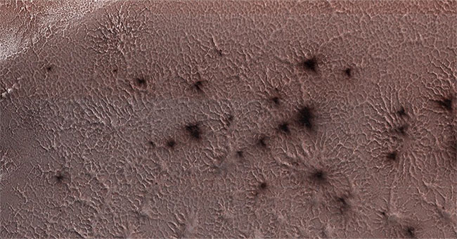
NASA aerospace agency recently announced an image of abnormal phenomena on the surface of Mars, looks like a giant spider.
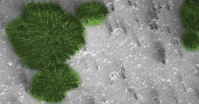
On July 12, 2018, YouTube's StreetCap 1 satellite device had the opportunity to check closely across a flat surface of Mars to detect many strange objects.
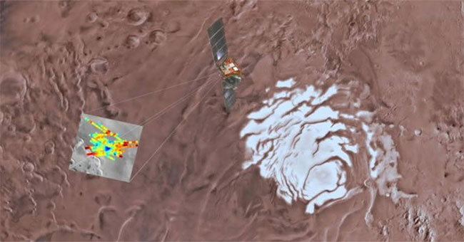
New evidence of a 20km lake near the southernmost tip of Mars raises hope for the possibility of life on the red planet.
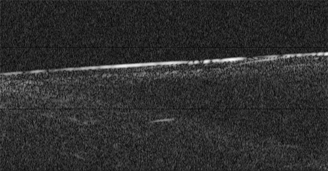
The new radar system will send low-frequency radio pulses on the Martian surface and record data then return to the Mars Express spacecraft.

NASA's Curiosity vehicle detects small rod-shaped objects on the surface of Mars, CNET reported yesterday.

This is the true image you will see when you set foot on Mars.

The NASA-made Curiosity explorer sends a unique image of a sunset on Mars with a blue light, Newsweek reported on November 29.

Researcher Jesse Tarnas thinks there is a biosphere below the surface of Mars and it is similar to the underground habitat on Earth.
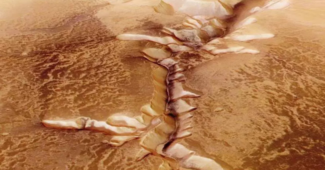
The time machine may not be real, but since there is a special section in the New York Times archive file, we can refer to real newspapers that have been published decad…
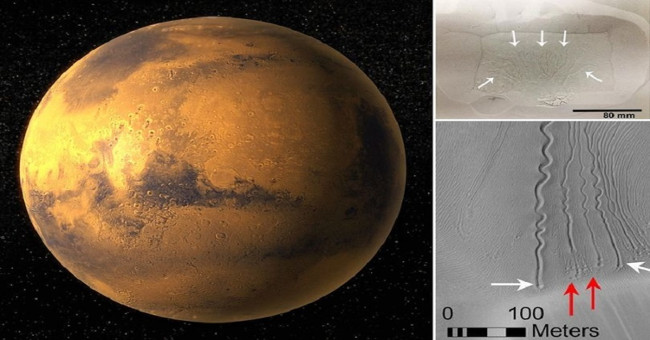
The surface of the red planet has very strange wavy lines that scientists have successfully decoded.
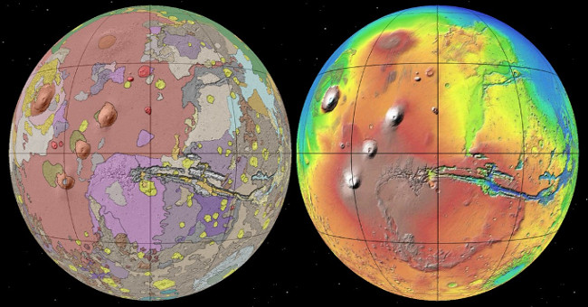
The US Geological Survey recently published the latest Mars map, which can provide important research information for future red planet exploration programs.
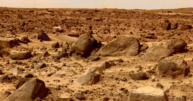
When the researchers sent spacecraft to Mars, they had to disinfect them seriously in order not to accidentally bring things on Earth there.