Environment
Hanoi plans to migrate and accumulate food
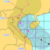
At an emergency meeting on November 10, Hanoi President Nguyen The Thao asked districts and districts to plan to emigrate from stormy areas in an emergency situation.
Browse ScienceInfo articles and explainers related to Storm.
1,669 published items.
At an emergency meeting on November 10, Hanoi President Nguyen The Thao asked districts and districts to plan to emigrate from stormy areas in an emergency situation.
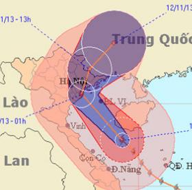
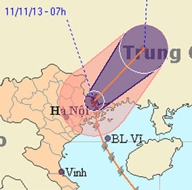
Haiyan is continuing to move north and soon is 10pm tonight, latest at 3-4h tomorrow morning, the storm center goes into the three provinces of Hai Phong, Thai Binh and…
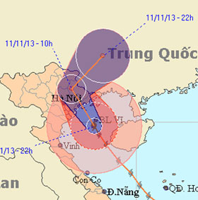
Pouring into the mainland at 2.30 am this morning, Haiyan became the strongest storm ever recorded in Quang Ninh. There are currently no statistics on human and property…
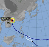
While Typhoon Haiyan is causing heavy rain and high winds in Quang Ninh, Hai Phong, in the East Sea, a tropical depression appears, the possibility of strengthening into…
At 9am this morning, after raging in Quang Ninh, the Uong Bi television tower was collapsed, typhoon Haiyan with the strongest winds from 62-74km per hour (level 8) move…
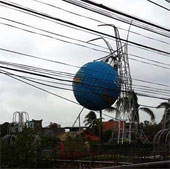
When sweeping Quang Ninh province, Typhoon Haiyan broke the 52m-high broadcasting radio mast of Uong Bi City, sank a raft in Ha Long and roofed hundreds of houses.

Tsunamis, tornadoes, dragon taps, cumulonimbus ... are terrifying weather patterns that can appear before and during super typhoons.
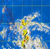
Philippine weather forecast agency this morning, November 11, reported that the new tropical depression has formed a risk of typhoon Zaraida.
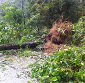
At 11:00 this afternoon, Typhoon Haiyan came out of the Vietnamese border and entered Guangxi Province (China).

Due to the unfavorable geographical position, the Philippines often suffers from natural disasters such as earthquakes, tsunamis, floods or volcanic eruptions, with grea…
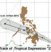
A low pressure area called Zoraida is heading towards Philippine territory, while the country is still struggling with the difficult situation caused by super typhoon Ha…
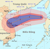
At 10 o'clock on November 1, the position of the center of the storm was about 19.0 degrees north latitude; 118.7 degrees Kinh Dong, about 740 km from Hoang Sa archipela…
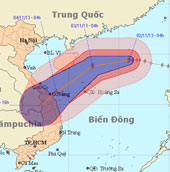
At 04:00 on November 2, the location of the center of the storm was about 19.4 degrees North latitude; 116.0 degrees Kinh Dong, about 510 km from Hoang Sa archipelago to…
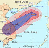
At 07:00 on November 2, the location of the center of the storm was about 19.5 degrees North latitude; 115.8 degrees Kinh Dong, 490 km from Hoang Sa archipelago to the N…
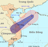
At 4 o'clock on November 4, the position of the center of the storm is about 18.9 degrees North latitude; 112.9 degrees east longitude, about 240 km from Hoang Sa archip…