Environment
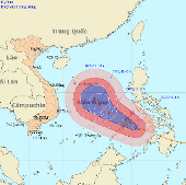
Super typhoon Bopha can affect Danang - Vung Tau
The strongest winds in the area near the storm center are strong at level 12 (ie, from 118 to 133 km per hour), shocking level 13, level 14.
Browse ScienceInfo articles and explainers related to Area.
4,758 published items.
The strongest winds in the area near the storm center are strong at level 12 (ie, from 118 to 133 km per hour), shocking level 13, level 14.

According to the Vietnam General Department of Sea and Islands, most of the coastal ecosystems of our country are seriously degraded due to overexploitation and heavy th…
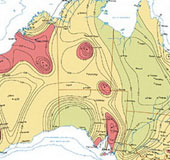
Australian researchers have just developed a series of maps that provide new information about the earthquake-prone areas in the country. Map published by the Australian…
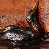
Vietnam's sea is an open sea connecting the Pacific and Indian Ocean, which is one of the navigable axes with very large traffic, of which 70% are oil tankers.
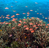
According to the Indonesian Minister of Sea and Fisheries, Sharief Cicip Sutardjo, nearly 50% of the destroyed coral reefs in Indonesia, accounting for 67% of the countr…
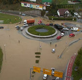
Extensive showers in Slovenia in recent days have caused hundreds of houses to be flooded and out of power, while causing serious landslides.
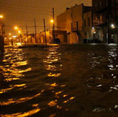
Many cities in the eastern United States, especially New York, are rushing to prevention plans, ready to face heavy storms and snowfall, which are expected to last for t…
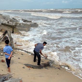
Due to the impact of storms, combined with high tide, so far, Thua Thien-Hue province has 9 coastal erosion points with a total length of about 30km.
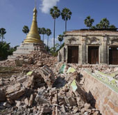
According to the latest news, at least 1 person was killed, more than 100 were injured and 5 people were missing in the earthquake 6.8 Richter happened 11/11 in Singu in…
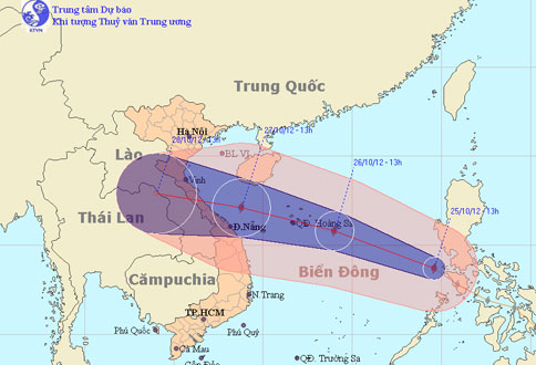
At noon today (October 25), Typhoon Son Tinh went into the East Sea and became the 8th storm to operate on this sea.
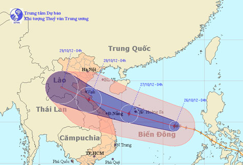
At 4 o'clock on October 26, the location of the center of the storm is about 14.5 degrees Vi Bac; 116.4 degrees Kinh Dong, about 520 km from Hoang Sa archipelago to the…
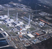
On October 24, the Japan Nuclear Regulatory Commission (NRA) announced a simulation of the scope of radioactive dispersal for areas that need to be evacuated in the even…
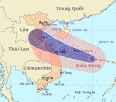
At 10 am on October 26, the location of the storm center is about 14.7 degrees Vi Bac; 114.9 degrees Kinh Dong, about 370 km from Hoang Sa archipelago to the southeast.
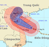
Due to the influence of typhoon No. 8 in Hoang Sa, there was a strong wind of 13m / s (level 6), a shock of 24m / s (level 9), on Ly Son island (Quang Ngai) with strong…
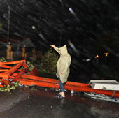
At 4 o'clock on October 29, the location of the storm center is about 20.9 degrees North latitude; 106.9 degrees Kinh Dong, on the coastal areas of Hai Phong-Quang Ninh…