Environment
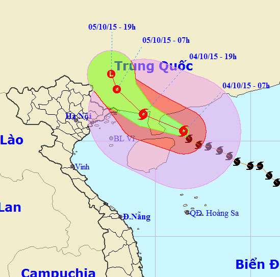
Mujigae storms move faster and stronger
Central Center for Hydrometeorological Forecasting said that, due to the impact of the 4th storm, from this evening (October 4), the North Gulf of North Sea has strong w…
Browse ScienceInfo articles and explainers related to Location.
536 published items.
Central Center for Hydrometeorological Forecasting said that, due to the impact of the 4th storm, from this evening (October 4), the North Gulf of North Sea has strong w…

The locations mentioned in this article are mostly rivers, lakes or beaches that are incredibly incredible colors.
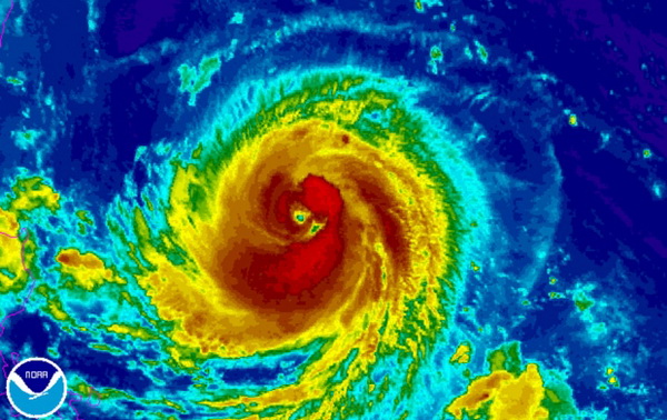
According to the Central Center for Meteorological and Hydrological Forecasting, at present, a very strong storm is operating in the waters off the Eastern Philippines a…
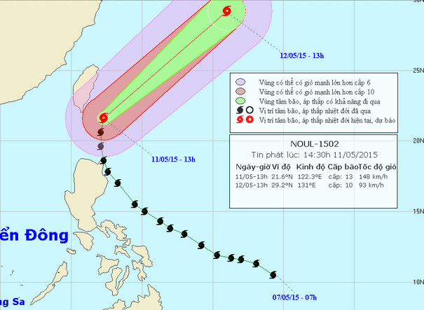
With the winds of the area near the center of the storm strong level 13, level 15-16, the Noul storm moves quickly in the Northeast direction. By 13 hours on 12/5, the l…
At 07:00 on December 8, the location of Typhoon Hagupit was about 13.1 degrees North latitude; 122.3 degrees east longitude, in central Philippines.

Hundreds of thousands of Filipinos have returned home since yesterday when Typhoon Hagupit began to weaken.
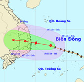
At 04:00 on November 29, the location of the storm center is about 12.4 degrees north latitude; 112.5 degrees east longitude, about 350 km from Phu Yen - Khanh Hoa coast…
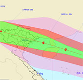
At 16 o'clock on September 15, the location of the center of the storm was about 18.7 degrees north latitude; 115.4 degrees east longitude, about 380 km from Hoang Sa ar…
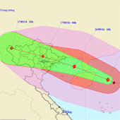
At 4 o'clock on September 16, the location of the storm center is about 19.4 degrees north latitude; 112.2 degrees east longitude, on the eastern sea of Hainan Island…
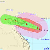
At 07:00 on September 16, the location of the storm center is about 19.7 degrees north latitude; 111.5 degrees east longitude, on the eastern sea of Hainan Island (Chi…
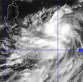
Currently, a storm is operating in the waters off Central Philippines and has an international name as Kalmaegi.
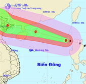
At 04:00 on September 15, the location of the center of the storm is about 18.4 degrees north latitude; 118.9 degrees east longitude, about 760 km from Hoang Sa archipel…
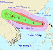
At 07:00 on September 15, the location of the center of the storm is about 18.2 degrees north latitude; 118.2 degrees east longitude, about 660km away from Hoang Sa arch…
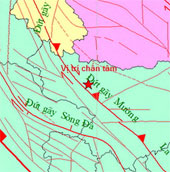
At 6:50 (Hanoi time) on August 20, an earthquake with magnitude 4 in the Richter scale occurred in Muong La district (Son La).
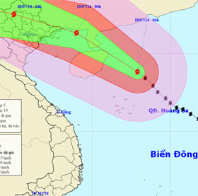
At 04:00 on July 18, the location of the center of the storm is about 18.8 degrees Vi Bac; 112.9 Kinh Dong, about 250km from Hoang Sa archipelago to the North.