Environment
Storm affected 50,000 boats and 80,000 people
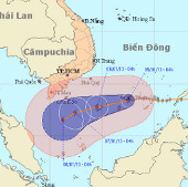
At 04:00 on January 5, the location of the storm center is about 8.4 degrees North; 112.5 Kinh Dong, right on the area of Truong Sa Lon island (belonging to Truong Sa…
Browse ScienceInfo articles and explainers related to Location.
536 published items.
At 04:00 on January 5, the location of the storm center is about 8.4 degrees North; 112.5 Kinh Dong, right on the area of Truong Sa Lon island (belonging to Truong Sa…
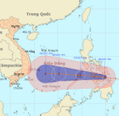
At 1 hour on December 26, the location of the center of the storm was about 10.6 degrees North latitude; 124.9 Kinh Dong, on the north of Min Da Nao Island (Philippines).
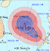
At 04:00 on December 6, the location of the storm center is about 11.7 degrees Vi Bac; 116.9 degrees Kinh Dong, about 290km from Song Tu Tay Island (belonging to the Spr…
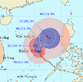
At 04:00 on December 7, the location of the center of the storm was about 13.4 degrees north latitude; 115.8 degrees Kinh Dong, about 550km from Hoang Sa archipelago to…
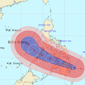
At 01:00 on December 4, the location of the center of the storm is about 7.6 degrees north latitude; 127.3 degrees east longitude, right on the east coast of Min island…
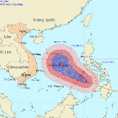
The strongest winds in the area near the storm center are strong at level 12 (ie, from 118 to 133 km per hour), shocking level 13, level 14.
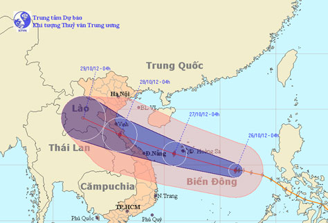
At 4 o'clock on October 26, the location of the center of the storm is about 14.5 degrees Vi Bac; 116.4 degrees Kinh Dong, about 520 km from Hoang Sa archipelago to the…
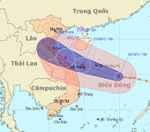
At 10 am on October 26, the location of the storm center is about 14.7 degrees Vi Bac; 114.9 degrees Kinh Dong, about 370 km from Hoang Sa archipelago to the southeast.

At 4 o'clock on October 29, the location of the storm center is about 20.9 degrees North latitude; 106.9 degrees Kinh Dong, on the coastal areas of Hai Phong-Quang Ninh…
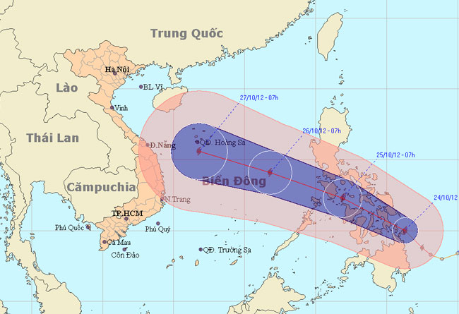
At 13:00 on October 24, the location of Son Tinh's storm center is about 10.4 degrees Vi Bac; 125.3 degrees Kinh Dong, on the northern area of Min Da Nao Island (Phili…
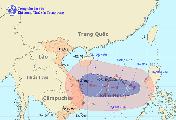
At 07:00 on October 3, the location of the center of the storm is about 15.3 degrees Vi Bac; 117.4 degrees Kinh Dong, about 570 km from Hoang Sa archipelago to the East…

Changing direction many times, Typhoon Gaemi is forecasted by many meteorological agencies to level up and land in Central Vietnam on October 6. The Government asked loc…
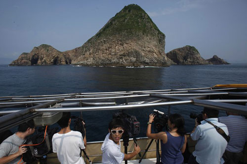
Hong Kong geologists (China) claim to have identified the location of a super volcano located on this special zone. This is also the first discovery of a super volcano i…
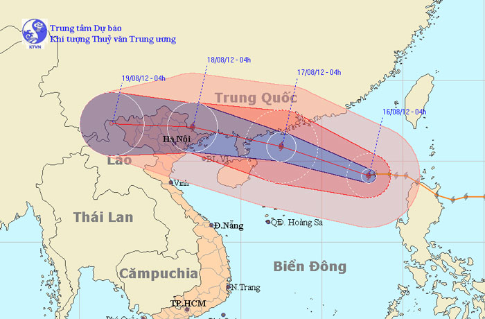
At 04:00 on August 16, the location of the center of the storm was about 19.1 degrees North latitude; 117.9 Kinh Dong, about 670km from Hoang Sa archipelago to the East…
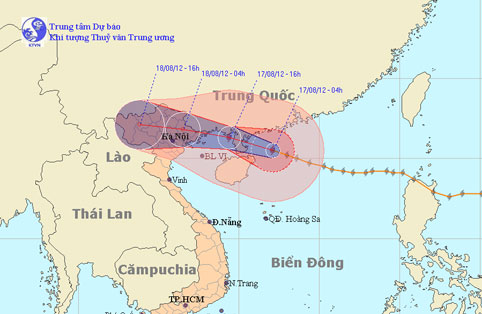
At 04:00 on August 17, the location of the center of the storm was about 20.5 degrees north latitude; 112.1 degrees Kinh Dong, 470 km from Mong Cai (Quang Ninh) to the E…