Environment
Typhoon Utor is likely to cause heavy rain for the North
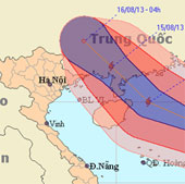
At 4 o'clock on August 13, the location of the center of the storm was about 18.2 degrees Vi Bac; 116.1 degrees east longitude. About 450km from Hoang Sa archipelago to…
Browse ScienceInfo articles and explainers related to Location.
536 published items.
At 4 o'clock on August 13, the location of the center of the storm was about 18.2 degrees Vi Bac; 116.1 degrees east longitude. About 450km from Hoang Sa archipelago to…
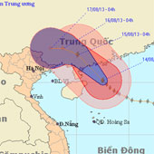
At 04:00 on August 14, the location of the center of the storm was about 20.2 degrees North latitude; 112.5 Kinh Dong. About 220km from Lei Chau Peninsula (China) to the…
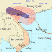
Last night (August 2), Typhoon 5 crossed North Hainan Island (China), went into the Gulf of Tonkin. At Bach Long Vi island station, a strong wind of 17m / s (level 7) wa…

At 10 am this morning, the storm of Jebi entered Quang Ninh province with strong winds of level 9 (maximum winds of 102km per hour). The storm stormed many corrugated ir…
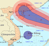
At 01:00 on 12/8, the location of the storm center is about 16.2 degrees Vi Bac; 122.2 degrees Kinh Dong, on the southeastern region of Lu - Dong (Philippines).
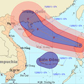
At 07:00 on 12/8, the location of the center of the storm was about 16.6 degrees north latitude; 120.9 degrees Kinh Dong, on the mainland of Lu - Dong Island (Philippine…
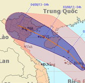
At 04:00 on August 1, the position of the center of the storm was about 15.6 degrees north latitude; 114.2 degrees Kinh Dong, about 260 km from Hoang Sa archipelago to t…
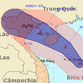
After entering the East Sea, storm Jebi is getting stronger. The storm is expected to sweep through Hainan Island (China) with a strong intensity of level 10 before ente…
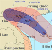
On the morning of August 2, the storm center of Jebi in Hoang Sa archipelago, strong level 10 and the possibility of tomorrow afternoon poured into the East North. Quang…
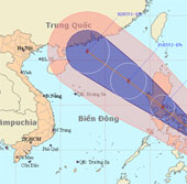
At 7 o'clock on June 29, the location of the center of the storm is about 11.5 degrees North latitude; 125.4 degrees Kinh Dong, in the central region of the Philippines.…
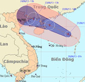
At 13 o'clock, the location of the center of the storm is about 18.5 degrees north latitude; 115.4 degrees Kinh Dong, about 400 km from Hoang Sa archipelago to the East…
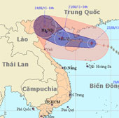
At 04 hours on June 22, the location of the center of the storm is about 19.5 degrees North latitude; 112.3 degrees Kinh Dong, on the eastern area of Hainan Island (Ch…
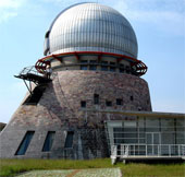
People and scientists cannot use China's oldest observatory at night because of light pollution.
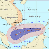
At 7:00 on January 4, the location of the center of the storm was about 8.4 degrees North; 116.2 degrees Kinh Dong, about 470 km from Truong Sa Lon (belonging to Truong…
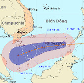
At 10 o'clock on January 4, the location of the storm center is about 8.4 degrees North; 115.8 degrees Kinh Dong, about 400km from Truong Sa Lon (belonging to Truong Sa…