
Computer science
Global wind map
It is an interactive tool that makes it possible to observe the flow of wind around the world spectacularly.
Browse ScienceInfo articles and explainers related to Maps.
164 published items.
It is an interactive tool that makes it possible to observe the flow of wind around the world spectacularly.

The mobile phone could become a spy data collection machine if users install a software designed by US military scientists.

The search site Google has launched a new application called Google Maps Navigation, which will make it easier for drivers to find the fastest route to avoid traffic jam…
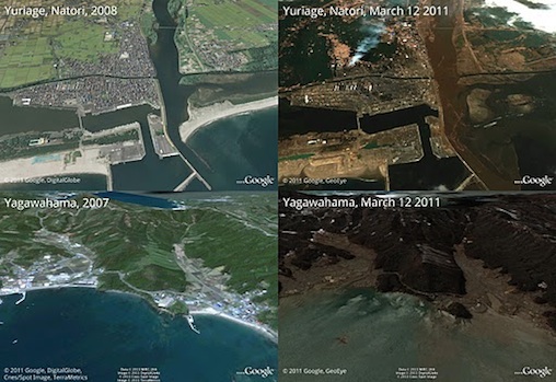
Both Google and NASA are releasing satellites that receive image signals depicting the earthquake's destruction and causing tsunamis last week in Japan.
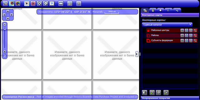
The Russian Aerospace Authority Roscosmos has just launched an Earth image portal, free to use with state organizations, but to collect high-resolution images with ordin…

Google has just introduced a new feature, allowing you to create your own maps and needs 100%, containing all kinds of information from where to buy gasoline.


Goolge on May 30 said it has strengthened the company's Google Maps online map system, which can help users clearly see the streets of the city with r & ot 360o images.

The search giant will make mapping easier than peeling candy, when users can

Google Maps is one of the giants' most popular services in search, because it allows users to view maps and other images taken directly from satellites, with one Simple…

In an effort to compete with rival Google, Microsoft on November 6 introduced 3D maps on the web of 15 US cities. Microsoft said it will provide customers with the abili…

After introducing two online mapping services, Google Earth and Google Moon, Google on March 14 has launched a new mapping tool, Google Mars. This tool will allow users…
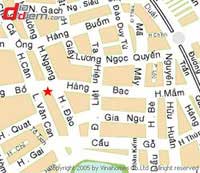
Without meeting, there are many individuals, groups, companies developing digital map utility in many different forms. The house is making digital maps, so it will be so…
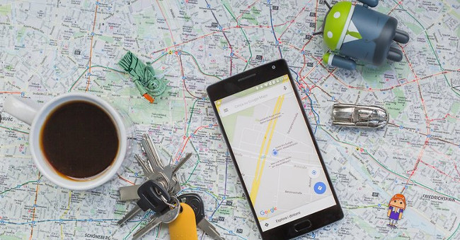
Technology experts have found a way to use offline offline Google Maps through downloading a certain area from an online map system on smartphones.
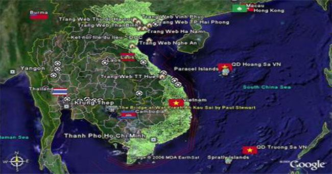
Through 3 million high-resolution satellite images built into 3D maps, the risk of landslides, floods and diseases can be detected.