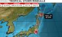
Two consecutive storms in 24 hours have swept across parts of Japan, while the third storm is expected to land tomorrow morning.
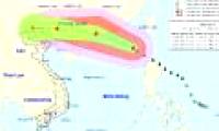
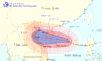
At 10 o'clock on August 1, the position of the center of the storm was about 20.4 degrees Vi Bac; 118.5 degrees east longitude, about 500 km east of Hong Kong to the southeast.
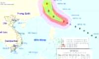
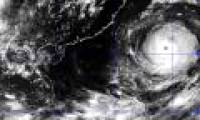
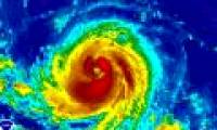
Super typhoon named Nepartak has just appeared in the waters off the northeastern island of Luzon (Philippines) but it is unlikely to affect the mainland of Vietnam.

About 150 major natural disasters affect millions of people around the world in 2015 and Asia is the most affected region in global disasters.
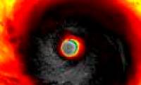
Typhoons form in the tropics because this natural phenomenon requires a very hot stream of water, at least 26 degrees at least 50 meters below the water.

A very strong storm is operating on the southeast coast of Taiwan. From tomorrow night, the storm circulation will cause strong winds of level 6-8 in the northeast of the East

According to the Central Center for Meteorological and Hydrological Forecasting, at present, a very strong storm is operating in the waters off the Eastern Philippines and

Tropical storm Soudelor is heading to Taiwan island from the western Pacific Ocean. It could become the strongest super typhoon in 2015.

Japan on September 16 evacuated nearly 300,000 households to avoid super typhoon Man-yi landing in the country, while traffic in many areas was stalled.

At 04:00 on October 3, the location of the center of the storm was about 17.6 degrees north latitude; 114.7 degrees Kinh Dong, about 250 km from Hoang Sa archipelago to the East
 Two consecutive storms in 24 hours have swept across parts of Japan, while the third storm is expected to land tomorrow morning.
 At 10 o'clock on August 1, the position of the center of the storm was about 20.4 degrees Vi Bac; 118.5 degrees east longitude, about 500 km east of Hong Kong to the southeast.
 Super typhoon named Nepartak has just appeared in the waters off the northeastern island of Luzon (Philippines) but it is unlikely to affect the mainland of Vietnam.
 About 150 major natural disasters affect millions of people around the world in 2015 and Asia is the most affected region in global disasters.
 Typhoons form in the tropics because this natural phenomenon requires a very hot stream of water, at least 26 degrees at least 50 meters below the water.
 A very strong storm is operating on the southeast coast of Taiwan. From tomorrow night, the storm circulation will cause strong winds of level 6-8 in the northeast of the East
 According to the Central Center for Meteorological and Hydrological Forecasting, at present, a very strong storm is operating in the waters off the Eastern Philippines and
 Tropical storm Soudelor is heading to Taiwan island from the western Pacific Ocean. It could become the strongest super typhoon in 2015.
 Japan on September 16 evacuated nearly 300,000 households to avoid super typhoon Man-yi landing in the country, while traffic in many areas was stalled.
 At 04:00 on October 3, the location of the center of the storm was about 17.6 degrees north latitude; 114.7 degrees Kinh Dong, about 250 km from Hoang Sa archipelago to the East


 NASA's 'Ninth Planet' Shows Signs of Being Friendly to Life
 Why did American astronauts have to be quarantined when returning to Earth?
 China surprises the world by building a cable-stayed bridge 'above the clouds'
 Why do women sleep less and wake up more than men?
 Revealing the secret inside the stuffed animal claw machine, from there, summarizing experience to help you increase your winning rate many times over
 What would happen if you dug a hole through the Earth and jumped in?
 Camera takes a photo that lasts 1,000 years
 Was there nuclear war in ancient times?