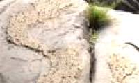
While going to the forest, Mr. Dang Quoc Ai discovered a rock eroded over time, emerging a picture of Vietnam map with the two archipelagoes Hoang Sa and Truong Sa.
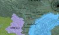
The territory of Vietnam through each period is the transformation of the living space of Vietnamese people, expressed by recognized orthodox dynasties.
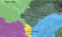
The territory of Vietnam through each period is the transformation of the living space of Vietnamese people, expressed by recognized orthodox dynasties.
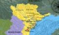
The territory of Vietnam through each period is the transformation of the living space of Vietnamese people, expressed by recognized orthodox dynasties.

In the morning of June 5, the S-shaped map with the Spratly and Paracel Islands of Vietnam stood out on April 2 Square in Nha Trang city. With 1,500 young people participating in

The Vietnam Map Survey Department under the Ministry of Natural Resources and Environment is developing a project to put Vietnam maps on the Internet and is expected to be
 While going to the forest, Mr. Dang Quoc Ai discovered a rock eroded over time, emerging a picture of Vietnam map with the two archipelagoes Hoang Sa and Truong Sa.
 The territory of Vietnam through each period is the transformation of the living space of Vietnamese people, expressed by recognized orthodox dynasties.
 The territory of Vietnam through each period is the transformation of the living space of Vietnamese people, expressed by recognized orthodox dynasties.
 The territory of Vietnam through each period is the transformation of the living space of Vietnamese people, expressed by recognized orthodox dynasties.
 In the morning of June 5, the S-shaped map with the Spratly and Paracel Islands of Vietnam stood out on April 2 Square in Nha Trang city. With 1,500 young people participating in
 The Vietnam Map Survey Department under the Ministry of Natural Resources and Environment is developing a project to put Vietnam maps on the Internet and is expected to be
 NASA's 'Ninth Planet' Shows Signs of Being Friendly to Life
 Why did American astronauts have to be quarantined when returning to Earth?
 China surprises the world by building a cable-stayed bridge 'above the clouds'
 Why do women sleep less and wake up more than men?
 Revealing the secret inside the stuffed animal claw machine, from there, summarizing experience to help you increase your winning rate many times over
 What would happen if you dug a hole through the Earth and jumped in?
 Camera takes a photo that lasts 1,000 years
 Was there nuclear war in ancient times?