Environment
Tropical depression towards the East Sea
While Typhoon Haiyan is causing heavy rain and high winds in Quang Ninh, Hai Phong, in the East Sea, a tropical depression appears, the possibility of strengthening into…
Browse ScienceInfo articles and explainers related to Wind.
1,171 published items.
While Typhoon Haiyan is causing heavy rain and high winds in Quang Ninh, Hai Phong, in the East Sea, a tropical depression appears, the possibility of strengthening into…
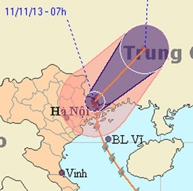
At 9am this morning, after raging in Quang Ninh, the Uong Bi television tower was collapsed, typhoon Haiyan with the strongest winds from 62-74km per hour (level 8) move…

Tsunamis, tornadoes, dragon taps, cumulonimbus ... are terrifying weather patterns that can appear before and during super typhoons.
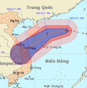
At 04:00 on November 2, the location of the center of the storm was about 19.4 degrees North latitude; 116.0 degrees Kinh Dong, about 510 km from Hoang Sa archipelago to…
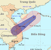
At 4 o'clock on November 4, the position of the center of the storm is about 18.9 degrees North latitude; 112.9 degrees east longitude, about 240 km from Hoang Sa archip…
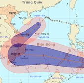
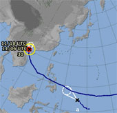
At 07:00 on November 4, the position of the tropical depression center was about 8.6 degrees Vi Bac; 125.9 degrees Kinh Dong, in the southern coastal region (Philippines…
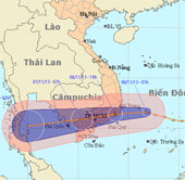
At 07:00 on November 6, the position of the tropical depression center was about 11.6 degrees north latitude; 111.8 degrees Kinh Dong, about 290 km from the coast of Kha…
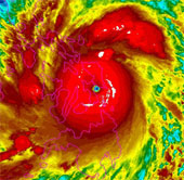
Haiyan typhoon, the most highly rated in the world this year, is landing in the Philippines with an average wind speed of 310km / h.

On October 28, a massive storm swept across Europe, killing at least 11 people in Britain, Germany, the Netherlands, France and Denmark.
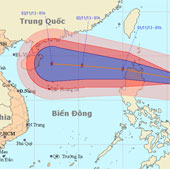
At 01:00 on October 31, the location of the center of the storm is about 17.5 degrees north latitude; 125.4 degrees Kinh Dong, about 340km from Lu-Dong Island (Philippin…
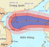
At 13 o'clock on October 31, the location of the center of the storm was about 18.0 degrees north latitude; 123.1 degrees east longitude, on the northeastern coast of Lu…
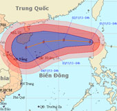
Early this morning (November 1), hurricane KROSA crossed Lu-Dong Island (Philippines) into the northeastern area of the East Sea - the storm No. 12.
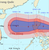
At 01:00 on October 11, the location of the storm center is about 15.3 degrees Vi Bac; 125.4 degrees Kinh Dong, about 400km from Lu-Dong Island (Philippines) to the East.

At 01:00 on October 12, the location of the center of the storm is about 15.6 degrees north latitude; 120.5 degrees east longitude, on the area of southwestern island…
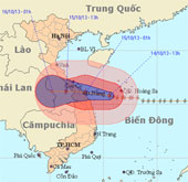
Due to the influence of the 11th storm circulation, at Ly Son island station, the strong wind of 19m / s (level 8) was measured, shocking 28m / s (level 10).