VNREDSat-1 is operating stably in orbit and transmitted to the ground quality photos not only in Vietnamese territory, but also many other parts of the world.
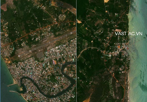
VNREDSat-1 satellite image taken on the east bank and west coast of Phu Quoc Island, Vietnam. VNREDSat-1 entered the universe on May 7 with the help of France. This is one of the first photos that this satellite transmits to Earth. (Photo: Vast.ac)
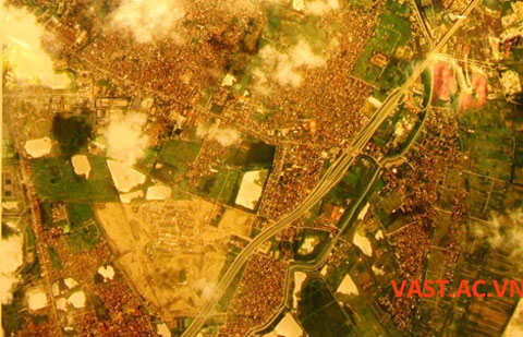
Photos of Hanoi viewed from VNREDSat-1 satellite. (Photo: Vast.ac)
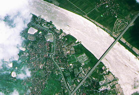
Thanh Tri Bridge of Hanoi. (Photo: VNA)
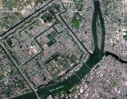
VNREDSat-1 taken in Hue city area. Experts said that in good weather conditions such as clear sky, less cloudy, Vietnam's satellites can record high quality images and detailed ground observations. (Photo: Chinhphu)
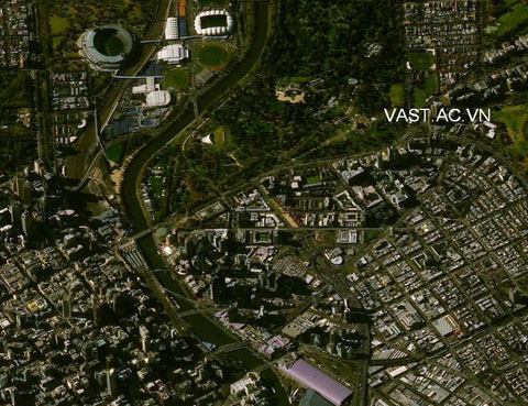
Not only recording images in Vietnam's territory, VNREDSat-1 satellite can also take pictures anywhere on the earth. In the picture is the city of Melbourne, Australia. (Photo: Vast.ac)
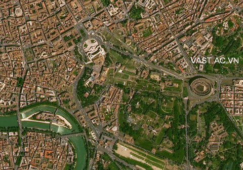
Rome city, Italy. With the images above, experts say, VNREDSat-1 satellite will soon meet the needs of remote sensing images for ministries and branches. (Photo: Vast.ac)