Environment
The South China Sea is about to be stormed, warning of heavy rain
At 01:00 on October 12, the low pressure area in the North East Sea area is located at about 16.5-17.5 degrees North latitude; 113.3-114.3 Kinh Dong, on the eastern sea…
Browse ScienceInfo articles and explainers related to Latitude.
135 published items.
At 01:00 on October 12, the low pressure area in the North East Sea area is located at about 16.5-17.5 degrees North latitude; 113.3-114.3 Kinh Dong, on the eastern sea…
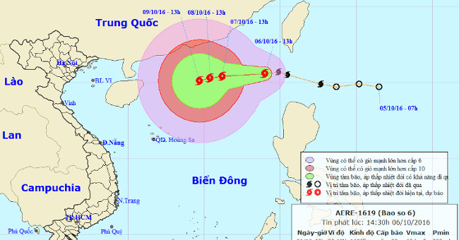
At 13 o'clock, the location of the center of the storm was about 20.6 degrees north latitude; 119.0 degrees east longitude, on the northeastern region of the East Sea. T…
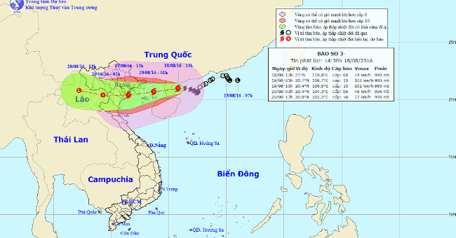
At 14:00 on August 18, the location of the storm center number 3 is about 21.0 degrees North latitude; 110.8 degrees Kinh Dong, on the sea to the east of Loi Chau Penins…
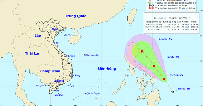
According to the Central Intelligence Center, on July 28, a tropical depression existed in the Eastern Philippines.
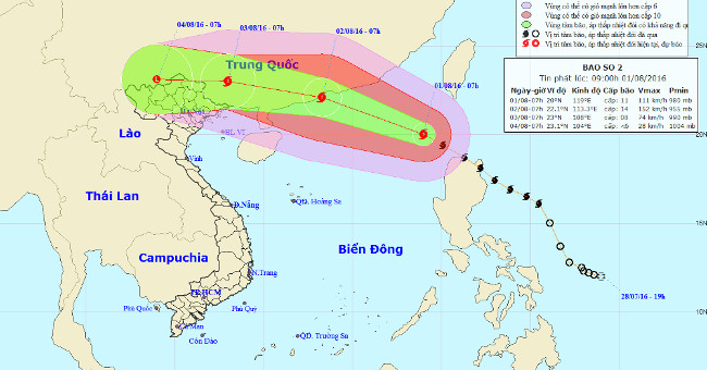
At 08:00 on August 1, the location of the center of the storm is about 20.1 degrees North latitude; 118.9 degrees Kinh Dong, about 560 km southeast of Hong Kong.
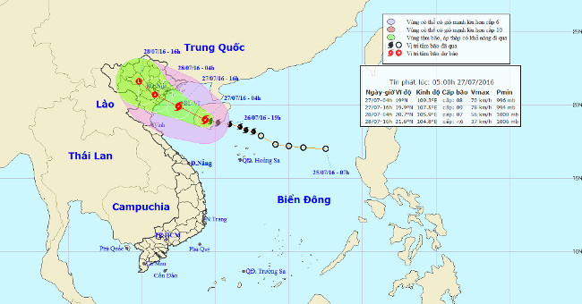
At 04:00 on July 27, the location of the storm center is about 19.0 degrees north latitude; 109.3 degrees east longitude, on the western region of Hainan Island. The str…
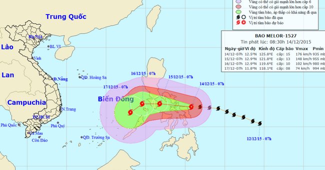
At 08:00 on December 14, the location of the center of the storm Melor was about 12.6 degrees north latitude; 125.6 degrees east longitude, on the central waters of the…
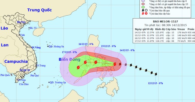
At 14:00 on December 14, the location of the center of the storm Melor was about 12.6 degrees North latitude; 124.6 degrees east longitude, on the eastern region, centra…
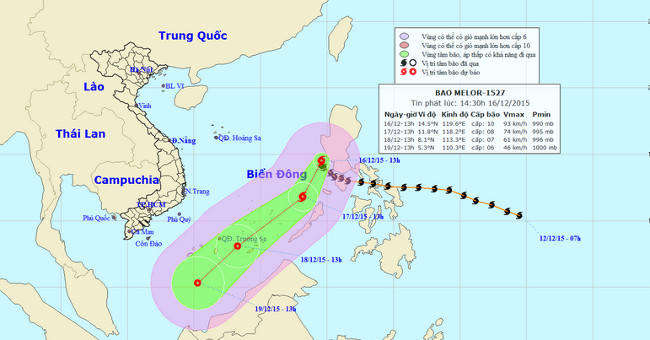
At 14 o'clock on December 16, the location of the center of the storm was about 14.5 degrees north latitude; 119.6 Kinh Dong, about 680km from Song Tu Tay Island (belong…
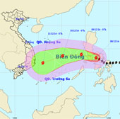
At 07:00 on December 8, the location of Typhoon Hagupit was about 13.1 degrees North latitude; 122.3 degrees east longitude, in central Philippines.
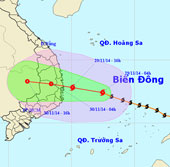
At 04:00 on November 29, the location of the storm center is about 12.4 degrees north latitude; 112.5 degrees east longitude, about 350 km from Phu Yen - Khanh Hoa coast…
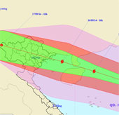
At 16 o'clock on September 15, the location of the center of the storm was about 18.7 degrees north latitude; 115.4 degrees east longitude, about 380 km from Hoang Sa ar…
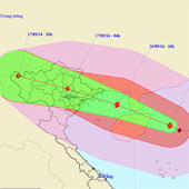
At 4 o'clock on September 16, the location of the storm center is about 19.4 degrees north latitude; 112.2 degrees east longitude, on the eastern sea of Hainan Island…
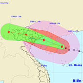
At 07:00 on September 16, the location of the storm center is about 19.7 degrees north latitude; 111.5 degrees east longitude, on the eastern sea of Hainan Island (Chi…
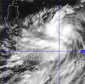
Currently, a storm is operating in the waters off Central Philippines and has an international name as Kalmaegi.