
Environment
The mysterious island on Google Earth does not exist
The large sized ghost island on Coral Sea is named Sandy Island on Google Earth and Google maps are somewhere between Australia and New Caledonia in France.
Browse ScienceInfo articles and explainers related to Sea.
3,672 published items.
The large sized ghost island on Coral Sea is named Sandy Island on Google Earth and Google maps are somewhere between Australia and New Caledonia in France.
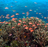
According to the Indonesian Minister of Sea and Fisheries, Sharief Cicip Sutardjo, nearly 50% of the destroyed coral reefs in Indonesia, accounting for 67% of the countr…
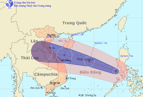
At noon today (October 25), Typhoon Son Tinh went into the East Sea and became the 8th storm to operate on this sea.
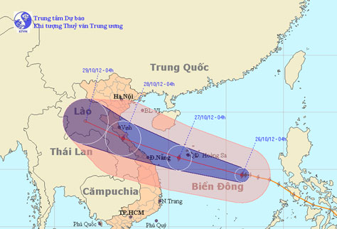
At 4 o'clock on October 26, the location of the center of the storm is about 14.5 degrees Vi Bac; 116.4 degrees Kinh Dong, about 520 km from Hoang Sa archipelago to the…
At 10 am on October 26, the location of the storm center is about 14.7 degrees Vi Bac; 114.9 degrees Kinh Dong, about 370 km from Hoang Sa archipelago to the southeast.
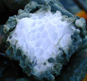
A large amount of bio-carbon on Earth is stored under the seabed as methane hydrate, a frozen mixture of methane and water.
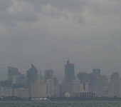
Tropical storm Son Tinh has swept across the Philippines, killing at least 6 people and 9 missing.
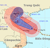
Due to the influence of typhoon No. 8 in Hoang Sa, there was a strong wind of 13m / s (level 6), a shock of 24m / s (level 9), on Ly Son island (Quang Ngai) with strong…
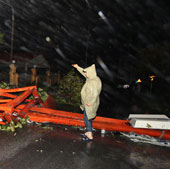
At 4 o'clock on October 29, the location of the storm center is about 20.9 degrees North latitude; 106.9 degrees Kinh Dong, on the coastal areas of Hai Phong-Quang Ninh…
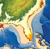
Why sea levels are rising faster than expected: estimates of future sea levels may be too low.
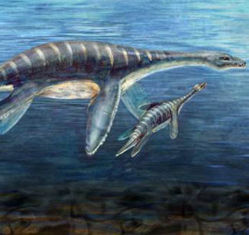
An increase in acidity in seawater could turn modern oceans back to the state of 110 million years ago.
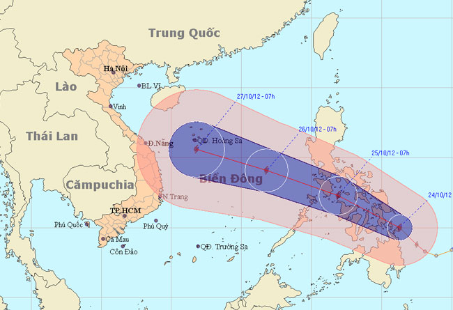
At 13:00 on October 24, the location of Son Tinh's storm center is about 10.4 degrees Vi Bac; 125.3 degrees Kinh Dong, on the northern area of Min Da Nao Island (Phili…

The Pentagon is trying to turn seawater into jet fuel, according to the US Naval Laboratory (NRL) statement.

Last night, Typhoon Jelawat landed on Japan's Honshu Island, forcing more than 100,000 residents on the island to evacuate. The storm also killed at least 1 person and i…
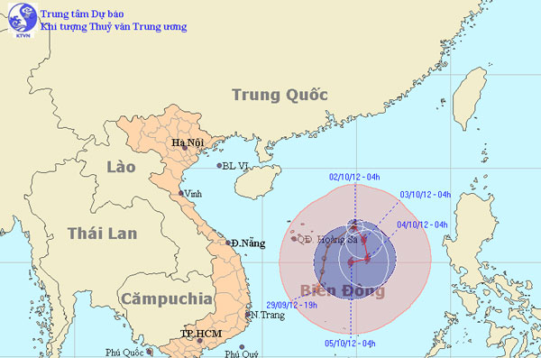
At 4 o'clock on October 2, the position of the storm center is about 16.9 degrees Vi Bac; 114.9 degrees Kinh Dong, about 290 km from Hoang Sa archipelago to the East.