Environment
Noon, the 7th storm will enter the East Sea
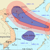
At 07:00 on 12/8, the location of the center of the storm was about 16.6 degrees north latitude; 120.9 degrees Kinh Dong, on the mainland of Lu - Dong Island (Philippine…
Browse ScienceInfo articles and explainers related to Thunderstorm.
230 published items.
At 07:00 on 12/8, the location of the center of the storm was about 16.6 degrees north latitude; 120.9 degrees Kinh Dong, on the mainland of Lu - Dong Island (Philippine…

Although only about 5 minutes, but with the power of horizontal storm, tornadoes blew a lot of iron roofs, cement roofs and made the whole area out of power.

3/4 night, along with thunderstorms, hail appeared in Sapa district with light intensity. This is the fifth hail in Lao Cai since March 27.
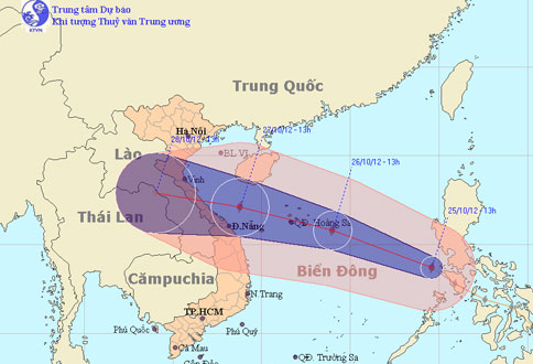
At noon today (October 25), Typhoon Son Tinh went into the East Sea and became the 8th storm to operate on this sea.
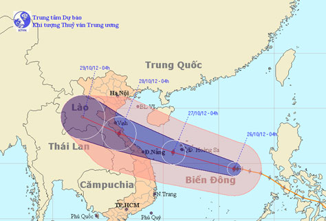
At 4 o'clock on October 26, the location of the center of the storm is about 14.5 degrees Vi Bac; 116.4 degrees Kinh Dong, about 520 km from Hoang Sa archipelago to the…
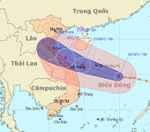
At 10 am on October 26, the location of the storm center is about 14.7 degrees Vi Bac; 114.9 degrees Kinh Dong, about 370 km from Hoang Sa archipelago to the southeast.

Tropical storm Son Tinh has swept across the Philippines, killing at least 6 people and 9 missing.
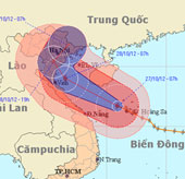
Due to the influence of typhoon No. 8 in Hoang Sa, there was a strong wind of 13m / s (level 6), a shock of 24m / s (level 9), on Ly Son island (Quang Ngai) with strong…
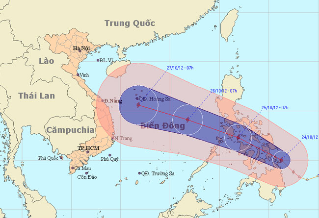
At 13:00 on October 24, the location of Son Tinh's storm center is about 10.4 degrees Vi Bac; 125.3 degrees Kinh Dong, on the northern area of Min Da Nao Island (Phili…
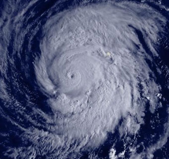
Super typhoon Jelawat has strong level 16, level 18 - level 19 has changed direction to move north, towards the waters of Japan.
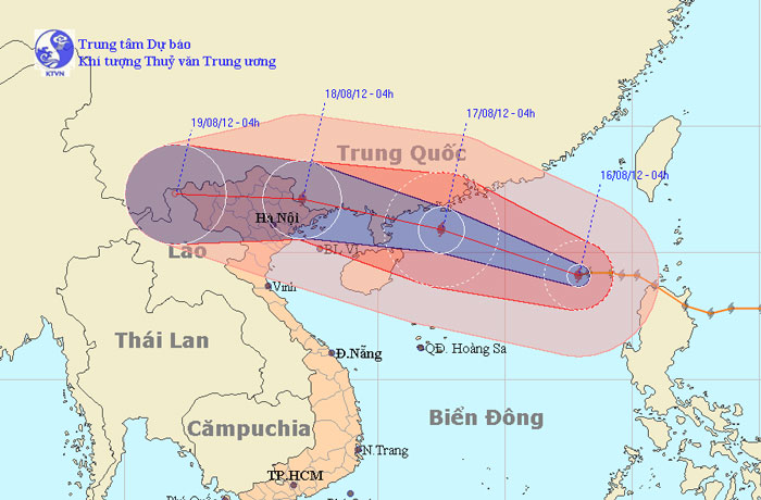
At 04:00 on August 16, the location of the center of the storm was about 19.1 degrees North latitude; 117.9 Kinh Dong, about 670km from Hoang Sa archipelago to the East…
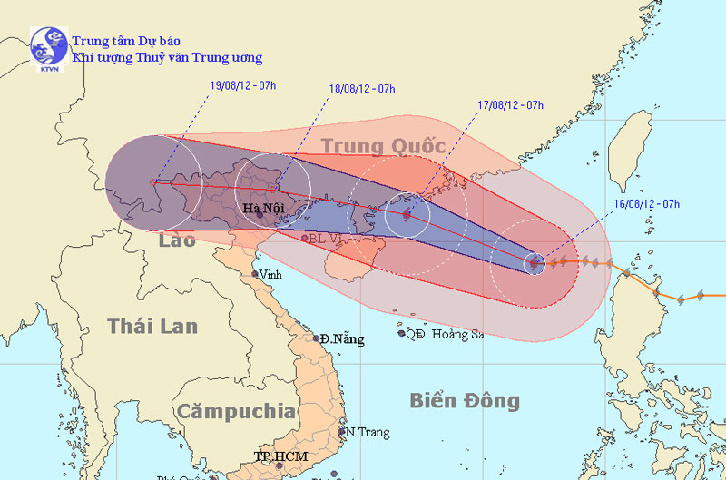
At 07:00 on August 16, the location of the center of the storm was about 19.1 degrees North latitude; 117.1 degrees Kinh Dong, about 610 km from Hoang Sa archipelago to…
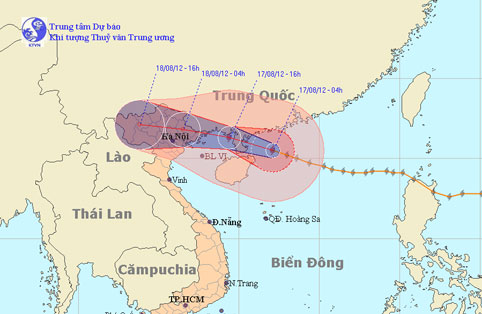
At 04:00 on August 17, the location of the center of the storm was about 20.5 degrees north latitude; 112.1 degrees Kinh Dong, 470 km from Mong Cai (Quang Ninh) to the E…
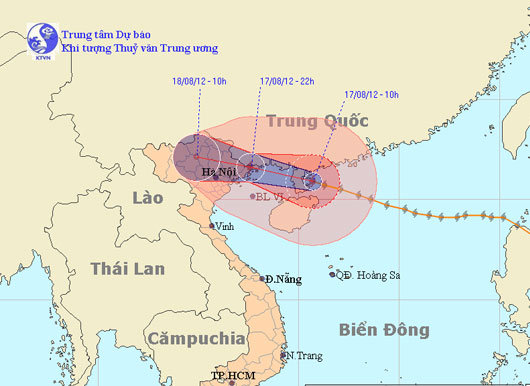
At 10 o'clock on August 17, the location of the storm center is about 20.9 degrees North latitude; 110.7 degrees Kinh Dong, about 320km from Mong Cai (Quang Ninh) to the…
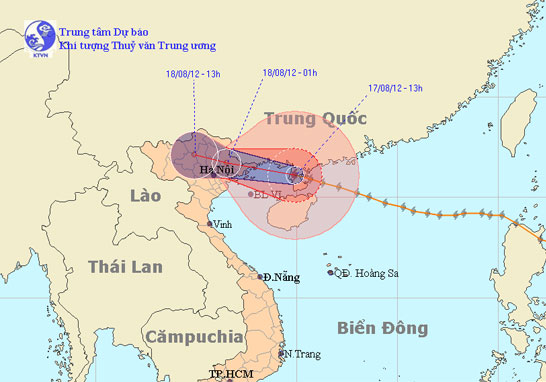
At 13:00 on August 17, the location of the center of the storm was about 21.1 degrees north latitude; 109.9 Kinh Dong, on the northwestern area of Leizhou Peninsula (C…