
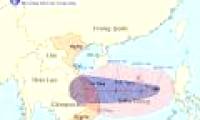
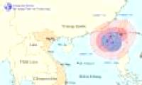
At 13:00 on October 24, the location of Son Tinh's storm center is about 10.4 degrees Vi Bac; 125.3 degrees Kinh Dong, on the northern area of Min Da Nao Island (Philippines).

Changing direction many times, Typhoon Gaemi is forecasted by many meteorological agencies to level up and land in Central Vietnam on October 6. The Government asked localities to

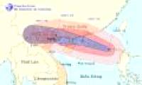
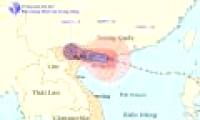
At 04:00 on August 16, the location of the center of the storm was about 19.1 degrees North latitude; 117.9 Kinh Dong, about 670km from Hoang Sa archipelago to the East North

At 04:00 on August 17, the location of the center of the storm was about 20.5 degrees north latitude; 112.1 degrees Kinh Dong, 470 km from Mong Cai (Quang Ninh) to the East of

At 10 o'clock on August 17, the location of the storm center is about 20.9 degrees North latitude; 110.7 degrees Kinh Dong, about 320km from Mong Cai (Quang Ninh) to the East of

At 13:00 on August 17, the location of the center of the storm was about 21.1 degrees north latitude; 109.9 Kinh Dong, on the northwestern area of Leizhou Peninsula (China),

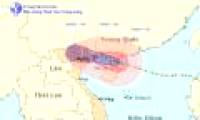
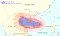
According to the Central Center for Meteorological and Hydrological Forecasting, at 1 hour on August 23, the location of the center of Typhoon TemBin is about 22.6 degrees north

At 7 o'clock on August 24, the location of the center of the storm was about 22.2 degrees Vi Bac; 120.6 degrees Kinh Dong, on the southern island of Taiwan (China). The strongest

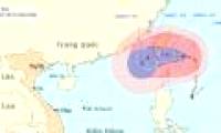
At 07:00 on August 15, the location of the center of the storm was about 17.9 degrees Vi Bac; 122.1 degrees Kinh Dong, on the northern area of Lu - Dong Island (Philippines).

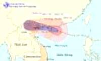
At 04:00 on October 3, the location of the center of the storm was about 17.6 degrees north latitude; 114.7 degrees Kinh Dong, about 250 km from Hoang Sa archipelago to the East
 At 13:00 on October 24, the location of Son Tinh's storm center is about 10.4 degrees Vi Bac; 125.3 degrees Kinh Dong, on the northern area of Min Da Nao Island (Philippines).
 Changing direction many times, Typhoon Gaemi is forecasted by many meteorological agencies to level up and land in Central Vietnam on October 6. The Government asked localities to
 At 04:00 on August 16, the location of the center of the storm was about 19.1 degrees North latitude; 117.9 Kinh Dong, about 670km from Hoang Sa archipelago to the East North
 At 04:00 on August 17, the location of the center of the storm was about 20.5 degrees north latitude; 112.1 degrees Kinh Dong, 470 km from Mong Cai (Quang Ninh) to the East of
 At 10 o'clock on August 17, the location of the storm center is about 20.9 degrees North latitude; 110.7 degrees Kinh Dong, about 320km from Mong Cai (Quang Ninh) to the East of
 At 13:00 on August 17, the location of the center of the storm was about 21.1 degrees north latitude; 109.9 Kinh Dong, on the northwestern area of Leizhou Peninsula (China),
 According to the Central Center for Meteorological and Hydrological Forecasting, at 1 hour on August 23, the location of the center of Typhoon TemBin is about 22.6 degrees north
 At 7 o'clock on August 24, the location of the center of the storm was about 22.2 degrees Vi Bac; 120.6 degrees Kinh Dong, on the southern island of Taiwan (China). The strongest
 At 07:00 on August 15, the location of the center of the storm was about 17.9 degrees Vi Bac; 122.1 degrees Kinh Dong, on the northern area of Lu - Dong Island (Philippines).
 At 04:00 on October 3, the location of the center of the storm was about 17.6 degrees north latitude; 114.7 degrees Kinh Dong, about 250 km from Hoang Sa archipelago to the East

 Why did the ancient Babylonian civilization perish? Was it because they considered 'that thing' a daily meal?
 Just discovered a 72km 'tear in the Earth', the world's second largest country is in fear of a tsunami attack
 Top 7 facts about the hottest place in the world, where you can fry eggs at outdoor temperature
 The Qing Dynasty collapsed, what surname did 20,000 royal descendants change to to integrate into the new era?
 After 389 days in the Arctic, costing more than $160 million, hundreds of scientists brought back bad news: What was it?
 How long does it take to fall in love with someone?
 How much silver has ever been discovered in the world?
 How does an atomic bomb work?