Environment
Big storms destroy the world
Super typhoon battles with tremendous power always cause great damage to people and people in places where they sweep through.
Explore science in everyday life, from weather and health to wildlife, geography, human biology and unusual phenomena around the world.
9,109 published items in this category and its subcategories.
Super typhoon battles with tremendous power always cause great damage to people and people in places where they sweep through.
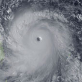
Typhoon Haiyan is entering the South China Sea as the strongest storm in many years, threatening to cause great damage.
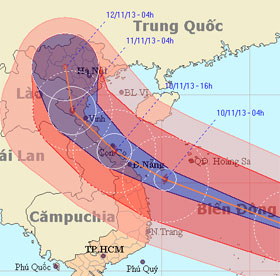
As the first island to receive a historic storm, this morning, Song Tu Tay had rain, strong winds hissed. Typhoon has weakened slightly with a gust of 133km / h.
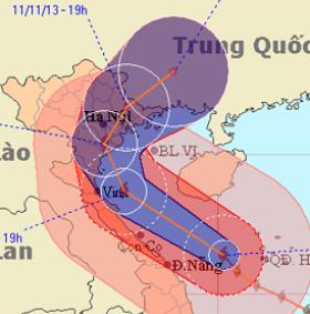
Haiyan typhoon is moving fast in the direction of gradually going north, along the central provinces, towards Thanh Hoa sea to Nam Dinh with decreasing intensity.

Local police said the strongest typhoon in Haiyan was said to have claimed the lives of about 10,000 people in central Leyte province alone.
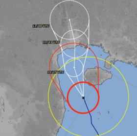
Typhoon Haiyan will be in the waters of Thanh Hoa - Hai Phong provinces tonight, causing heavy rain on a large scale, so localities in this area are urgently responding…
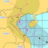
At an emergency meeting on November 10, Hanoi President Nguyen The Thao asked districts and districts to plan to emigrate from stormy areas in an emergency situation.
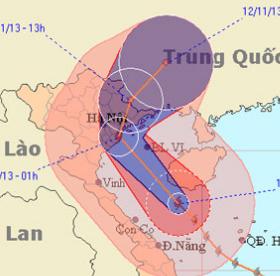
Haiyan is continuing to move north and soon is 10pm tonight, latest at 3-4h tomorrow morning, the storm center goes into the three provinces of Hai Phong, Thai Binh and…

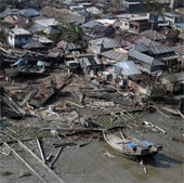
Two days after the typhoon Haiyan swept over, the central Tacloban city became a desolate graveyard with most of the houses flattened and dead bodies everywhere.
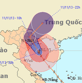
Pouring into the mainland at 2.30 am this morning, Haiyan became the strongest storm ever recorded in Quang Ninh. There are currently no statistics on human and property…
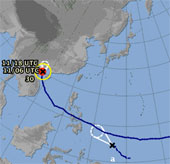
While Typhoon Haiyan is causing heavy rain and high winds in Quang Ninh, Hai Phong, in the East Sea, a tropical depression appears, the possibility of strengthening into…
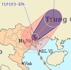
At 9am this morning, after raging in Quang Ninh, the Uong Bi television tower was collapsed, typhoon Haiyan with the strongest winds from 62-74km per hour (level 8) move…
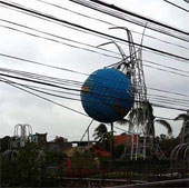
When sweeping Quang Ninh province, Typhoon Haiyan broke the 52m-high broadcasting radio mast of Uong Bi City, sank a raft in Ha Long and roofed hundreds of houses.

Tsunamis, tornadoes, dragon taps, cumulonimbus ... are terrifying weather patterns that can appear before and during super typhoons.
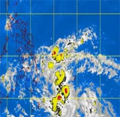
Philippine weather forecast agency this morning, November 11, reported that the new tropical depression has formed a risk of typhoon Zaraida.