
Environment
Chanthu storms are 'swinging hammocks' on the East Sea
July 20 shows that the storm is stronger and likely to affect Vietnam.
Browse ScienceInfo articles and explainers related to East Sea.
198 published items.
July 20 shows that the storm is stronger and likely to affect Vietnam.
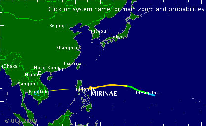
A strong storm of 13 international names is Mirinae operating in the eastern sea of the Philippines and the possibility of the evening of October 31 will enter the Sou…
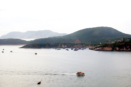
A low pressure area on the tropical convergence band is operating in the area between the East Sea, causing rain and thunderstorms on the sea from Da Nang-Khanh Hoa ...
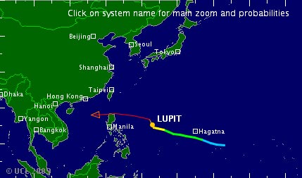
New tropical depression appears to be active in the southern part of Hoang Sa archipelago. In the next 1 to 2 days, the low pressure will move closer and about 130km fro…
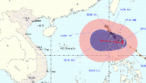
Storm No. 10 has crossed the meridian 120, out of Vietnam's East Sea territory but the direction of the storm is still pointing to Vietnam ...
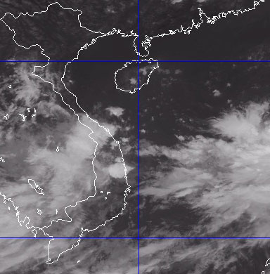
At 4 o'clock on September 9, the position of the tropical depression center was about 14.0 degrees north latitude; 111.1 degrees Kinh Dong, about 200 km from the coast o…
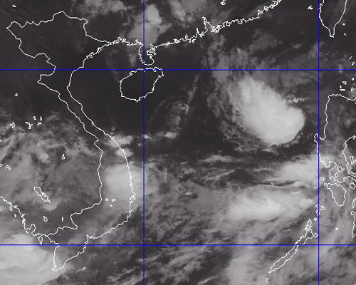
Early this morning (September 10), the tropical depression strengthened into a storm. This is the 7th storm to operate in the East Sea.
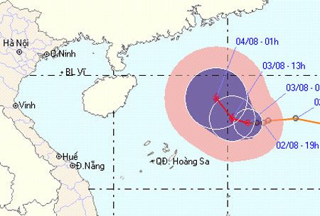
After moving very quickly into the South China Sea, the low tropical hamlet slowed down and headed north. It is expected that today low pressure will strengthen into a s…
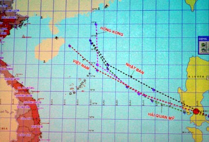
According to the Steering Committee for Flood and Storm Prevention of the Central Highlands, Higos (typhoon No. 8) is an extraordinary storm, with fast moving speed and…
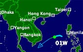
According to the Center for Central Hydrometeorological Forecasting, in the afternoon of January 13, a tropical low pressure area in the area between the East Sea has st…
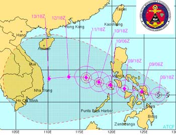
This morning, Typhoon Utor approached the coast of the Philippines. At a speed of 25-30 km an hour, tomorrow (December 10), Utor will enter the East Sea, starting to aff…
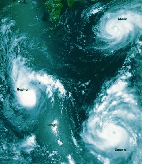
Aqua meteorological agency of the US Aeronautics and Space Administration (NASA) has captured a rare photo with three storms at once on the Pacific Ocean, northeast of t…

With more than 2 weeks floating on the East Sea in the Spratly Islands, visitors will have many opportunities to admire the scenery at sunrise and sunset.
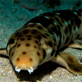
Dr. Gerald Allen, a researcher at the Western Australian Museum, is the one who captures this interesting scene. The video was filmed in the east coast of Indonesia reco…
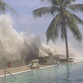
India is building a tsunami warning system in the South China Sea and is expected to be operational within the next 10 months to avoid repeating the disaster that occurr…